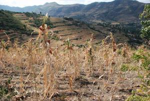
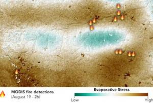
In recent years, droughts have been impacting several regions of the world on a more frequent and severe basis. The long-lasting effects of such droughts are taking a toll on farmers and their livelihoods, forcing some of them to seek alternate sources of income through migration to cities in their countries and in other countries in extreme cases. The World Meteorological Organization identifies droughts as the most damaging natural hazard due to their long-term socio-economic impact. According to the Food and Agriculture Organization of the United Nations (FAO), droughts are the “single greatest culprit of agricultural production loss”.
A drought generally refers to “an extended period of unusually…
more