


Among the services that satellites can provide for disaster risk management and emergency response are weather forecasting, remote sensing, geo-positioning, navigation, television and telecommunication. Instruments onboard satellites circling the Earth are designed to cover specific wavelength ranges of the electromagnetic spectrum in order to capture images, atmospheric sounding, satellite communication, geo-positioning and navigation.
Satellites are circling Earth in different orbits depending on the type of application or instrument onboard: A satellite in a geostationary orbit circles the Earth above the equator (0° latitude) synchronously to the Earth's rotation. Its apparently fixed position above a point on the equator at an altitude of more than 36,000 km makes it suitable for communications and regional climate observation of that specific area, with high temporal but low spatial resolution.
Earth observation satellites and satellites for meteorological purposes are located in low Earth orbit at an altitude of typically about 500-800 km and near polar inclination. Due to their orbit, these satellites provide global coverage with comparatively lower temporal, but medium to very high spatial resolution. Due to the high costs of space transportation, constellations of communication or navigation satellites are also placed in Low Earth Orbit.
Earth Observation satellites use either optical or radar sensors to capture images of Earth: Optical sensors for Earth observation are designed to deliver images in either panchromatic spectral format or multispectral format. Panchromatic refers to images in black and white that are reflected from Earth's surface exposed to all visible light. Multispectral images usually include four bands of the electromagnetic spectrum: blue, green, red and near-infrared.
Radar sensors for Earth observation are designed to operate in the microwave range.
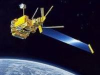
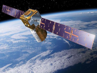
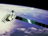
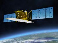
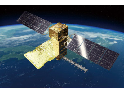
Overview on satellite missions and instruments
For additional information, please visit the following external resources:
- European Space Agency's (ESA) satellite mission database on the EOPortal database (link)
- Committee on Earth Observation Satellites (CEOS) and ESA database (link)
- Poster: Overview of Satellites of the International Charter "Space and Major Disasters" (link)
External tutorials on satellite technologies and Earth observation
Below you will find links to external handbooks, guides and tutorials on satellite technology.
Guides: Earth observation applications
- CEOS Earth Observation Handbook: Satellite Earth Observations in Support of Disaster Risk Reduction (link)
- CEOS Earth Observation Handbook: Satellite Earth Observations in Support of Climate Information Challenges (link)
- CEOS Earth Observation Handbook: Satellite Earth Observations in Support of the Sustainable Development Goals (link)
Guides: Introduction to remote sensing
- Introduction to radar remote sensing of the remote sensing education initiative (SAREDU) of DLR (link)
- Tutorial on fundamentals of remote sensing of CNRS (link)
- Tutorial on radar polarimetry (CNRS) (link)
- Tutorial on satellite data reception (link)
- Image interpretation quiz (link)
Guides: Didactic material on satellite technology for children and schools
- EDUSPACE of ESA aims to provide secondary school students and teachers with a learning and teaching tool. It is meant to be an entry point for space image data, and, in particular, to a widespread visibility of Earth observation applications for education and training. (link)
- Watching over our Planet from Space - A kit for kids (CNRS) (link)
- Remote Sensing in schools (University of Bonn and DLR) (link)