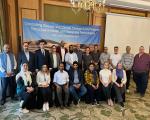
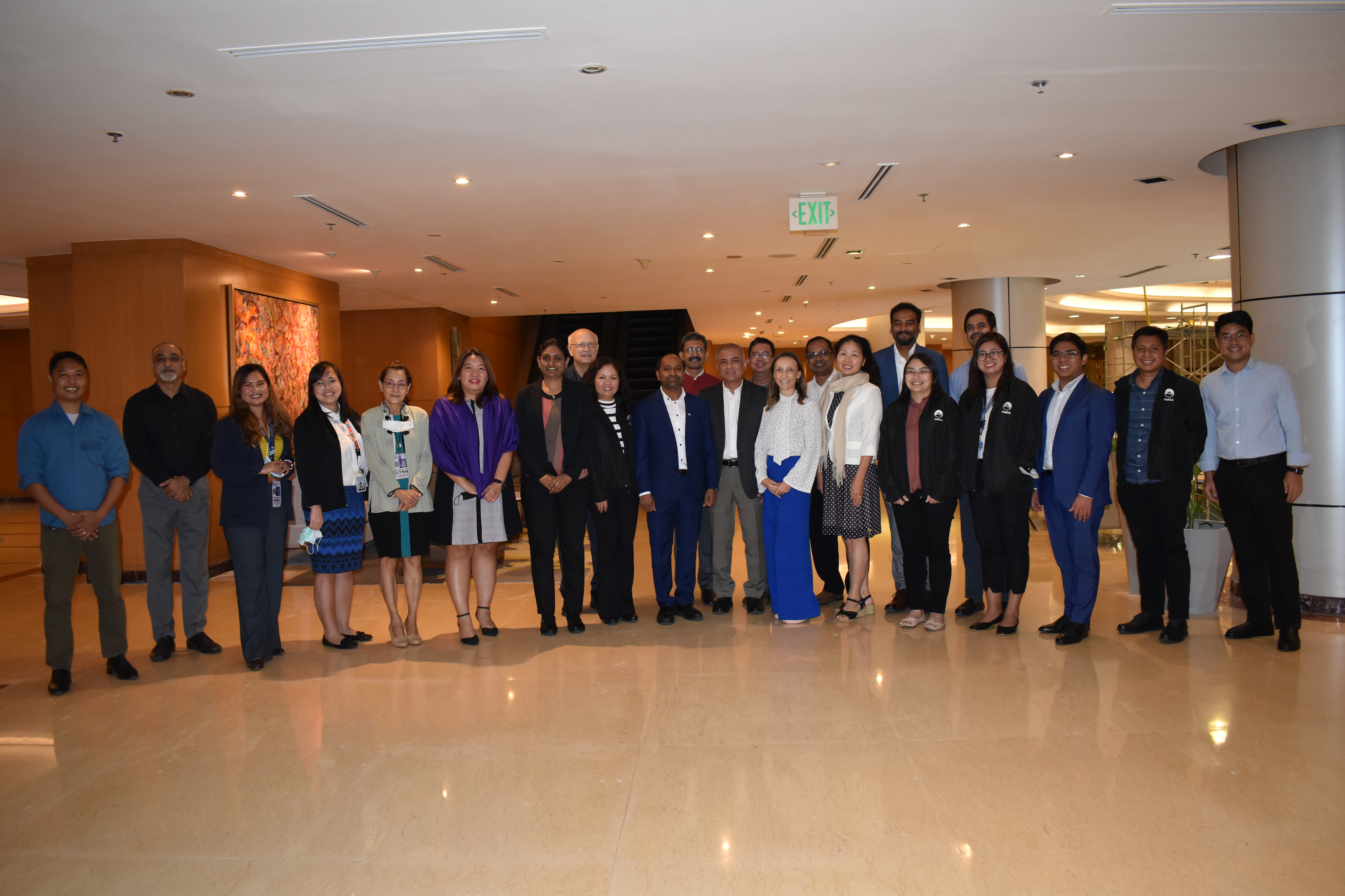
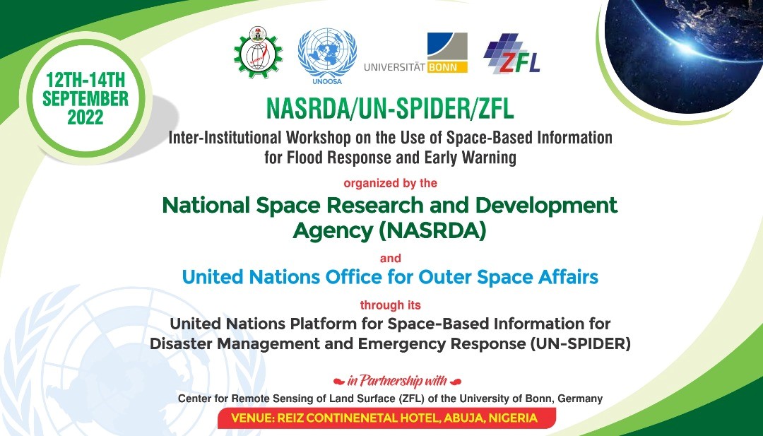
1) The Interinstitutional Workshop on “The Use of Space-Based Information for Flood Response and Early Warning " was carried out from 12 to 14 September 2022 and contributed to raise awareness of the recent developments made by the space community regarding its efforts to contribute to disaster response efforts worldwide; and advances by the disaster management community on the topics of emergency operation centres and decision support systems used in these centres to coordinate the response in case of large disasters in a timely and efficient fashion.
The workshop brought together 104 participants from 14 government agencies and two universities in Nigeria; as well as several representatives of the United Nations and experts from ZFL and from the National Disaster Management Organization of Ghana (NADMO), which were mobilized by UN-SPIDER for this event.
2) A simulated activation of the International Charter Space and Major Disasters as part of the interinstitutional workshop with the support of staff from the European Space Agency and the private space company Terradue on behalf of the International Charter; ZFL, NADMO, and UN-SPIDER. To prepare for this simulated activation, ESA and Terradue organized a virtual training course for participants from Nigeria, ZFL, NADMO in Ghana and UN-SPIDER. The virtual training course was attended by more than 50 participants from several organizations of Nigeria including NASRDA, NEMA, NIHSA, NiMet, the National Oil Spill Detection and Response Agency (NOSDRA), and the Federal Ministry of Humanitarian Affairs, Disaster Management and Social Development (FMHDS).
Subsequently, the interinstitutional workshop included a simulated activation of the International Charter for floods in the Benue and Niger rivers. As part of the simulated activation, an expert from NASDRA was designated as project manager and a small team of experts from NASRDA, ZFL, NADMO and UN-SPIDER served as value-added providers. Archived satellite imagery of historic floods from 2012, 2017, 2018, and 2020 were used to simulate flooded areas. The maps produced during the simulated activation were presented to the participants on various occasions.
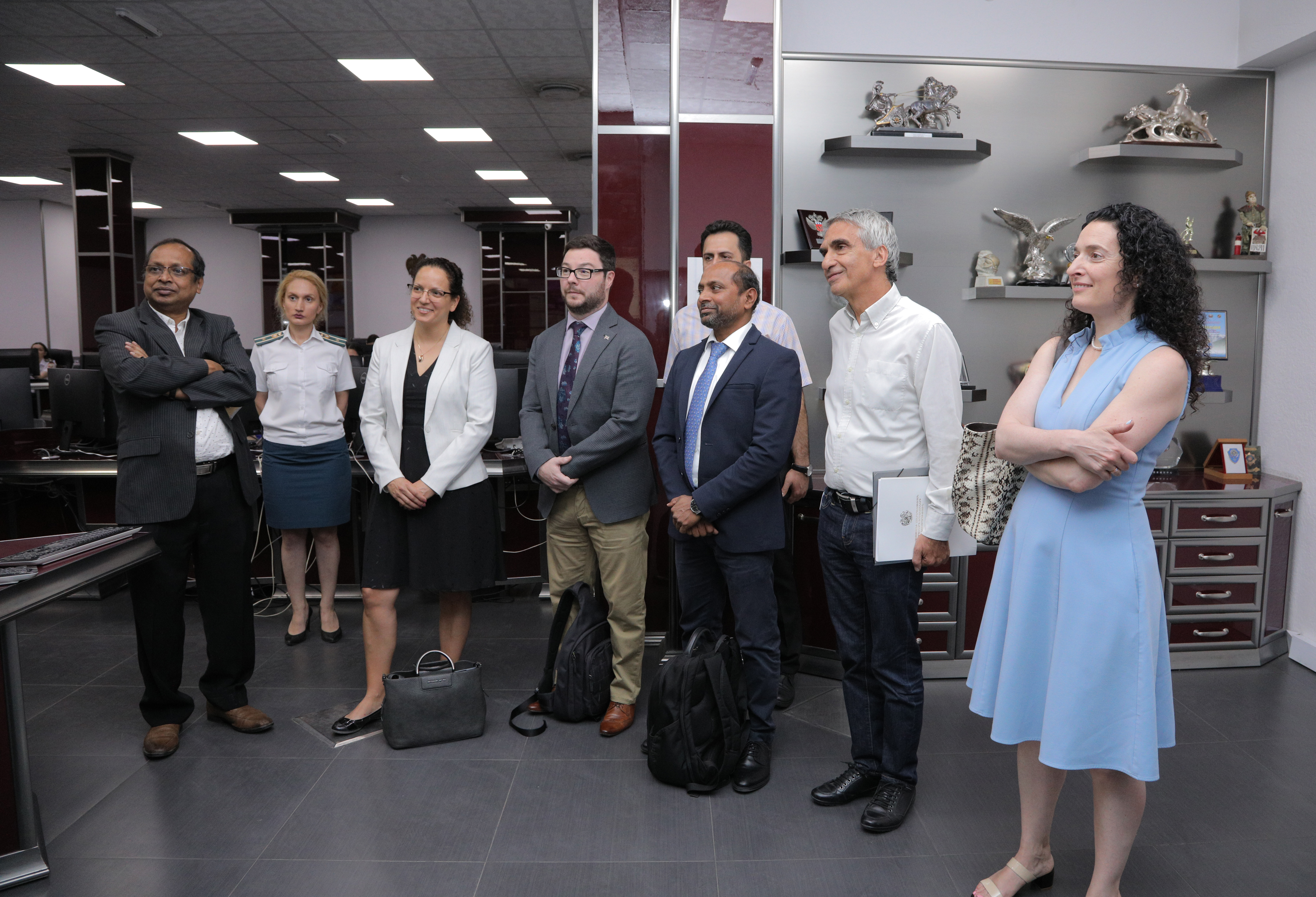
3) Institutional Visits were carried out on 15 and 16 September 2022 to the following institutions: the Nigeria Hydrological Service Agency (NIHSA), the National Emergency Management Agency (NEMA), the National Oil Spill Detection and Response Agency (NOSDRA), the Office of the Surveyor General of the Federation (OSGOF), the Nigerian Meteorological Agency (NiMet), and the National Space Research and Development Agency (NASRDA). These visits allowed the mission team to raise awareness regarding the benefits of the use of space technologies in disaster management, to encourage greater synergies between the institutions visited and NASRDA, and to take note of activities of the respective institutions to gain a better understanding regarding how they use space technologies.
4) The Flood GUIDE project meeting on 16 September brought together partners from NADMO, NASRDA, NEMA, NIHSA, NiMet, ZFL, GloFAS and UN-SPIDER to continue the discussion on the use of the Global Flood Awareness System (GloFAS) of the Copernicus programme to improve flood early warning systems in pilot areas in Nigeria and Ghana. The meeting allowed participants to identify needs and follow-ups related to the implementation of the Flood GUIDE project, which aims to improve flood early warning systems through the incorporation of impact-based forecasts.