![]()
United
Nations
-
-
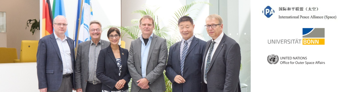
 UN-SPIDER welcomes UNU-INWEH as New Regional Support Office
 -
 Advancing Disaster Preparedness and Response
 -
-
 Help Shape the Future of the UN-SPIDER Knowledge Portal
How can space technology be applied in disaster and risk management?
Where can I access satellite data, products and other resources?
Who are the users of space technology in disaster and risk management?
Which services can UN-SPIDER offer to Member States?
News

")

")
")
")
")
")
")
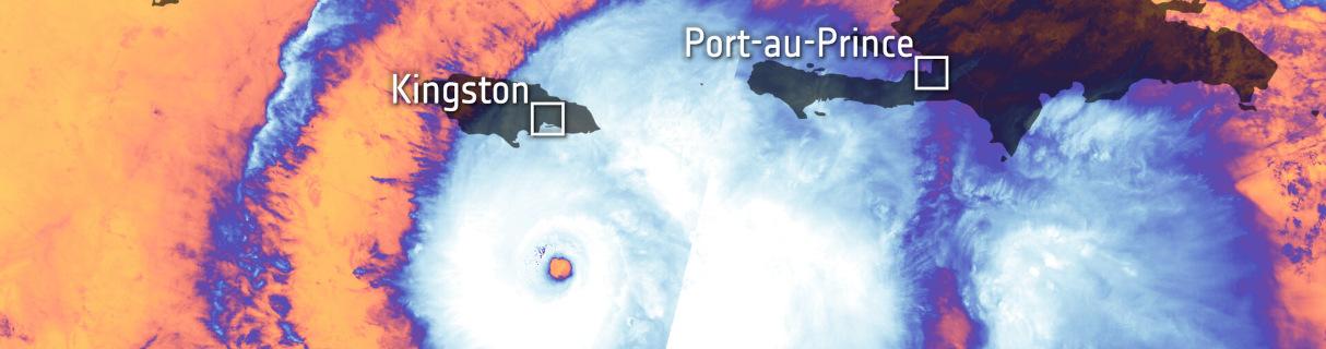
 river basins and the Ganges-Brahmaputra (GB) delta as well as other river deltas (Image: NASA/SERVIR)")
Upcoming Events
Our Regional Support Offices


![]()