  • English
  • Español
  • Français

United
Nations


Office for Outer Space Affairs
UN-SPIDER Knowledge Portal

  • Home
  • About Us
    • What is UN-SPIDER?
    • About UNOOSA
    • Publications
    • Jobs
    • Meet the Team
    • Contact
  • Space Application
    • Satellite Technology
    • Emergency Mechanisms
    • Recovery Mechanisms
    • International Asteroid Warning Network
    • Space Mission Planning Advisory Group
    • International Space Weather Initiative
    • Space Technologies in the UN
    • User Stories
  • Links & Resources
    • Data Applications
      • Disaster Recovery
    • Data Sources
    • GIS and Remote Sensing Software
    • Online Learning Resources
    • Institutions
  • Risks & Disasters
    • Disaster Risk Management
    • Early Warning Systems
    • Emergency and Disaster Management
    • Natural Hazards
    • Sendai Framework
    • The UN and Disaster Risk Management
    • The UN and Early Warning
    • The UN and Disaster Management
  • Advisory Support
    • Advisory Missions
    • Emergency Support
    • Virtual Advisory Support
    • Recommended Practices
    • Training Activities
    • Practical Uses
  • Network
    • Regional Support Offices
    • GP-STAR
    • MHEWS
    • IWG-SEM
  • Projects
    • SPEAR
    • SEWS-D
    • EvIDENz
    • Flood GUIDE
  • News & Events
    • News
    • Events Calendar
    • UN-SPIDER Events Archive

Breadcrumb

  • Home
  • Space Application
  • User Stories
  • User Stories

User Stories

User looking at screen

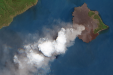
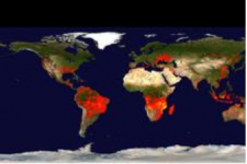
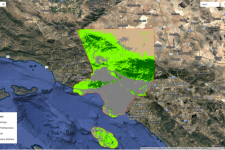
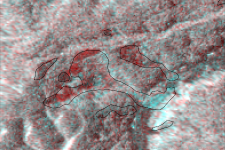
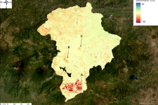
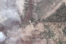
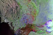
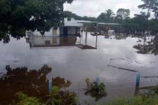
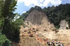
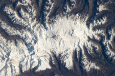
This section presents selected user stories and examples of the application of space technology for addressing a wide range of natural hazards. The stories and examples cover all phases of the disaster management cycle, including disaster risk reduction, preparedness and early warning. 

The user stories and case studies provide anecdotal evidence of the usefulness and diverse application options that space-based information is able to offer.

Landslide and Land Emergence Detection due to Earthquake using Radar Satellite Imagery
Cover Image
User Story for Land Subsidence Monitoring by Multi Temporal Interferometric SAR Analysis
Land Subsidence Guatemala
Digital Twin product derived from Satellite Imagery for Sea Level Rise Simulation
Simulation of sea level rise
Space-based flood monitoring to support disaster risk management in Sudan
Map
Flood modelling in the Indus river using different digital elevation models
The Indus River running through Pakistan’s Sindh province before emptying into the Arabian Sea. Image: ESA, CC BY-SA 3.0 IGO.
Flood modelling in Guatemala using different digital elevation models
Landslide susceptibility analysis in Guatemala with digital elevation models
Landslide in El Cambray II in the municipality of Santa Catarina Pinula in 2015. Image: CONRED.
Use of SBAS to monitor activity of the Nevados de Chillan volcano
Picture from Space
Use of DinSAR and SBAS to monitor activity of the Taal volcano
Satellite image of Taal volcano (Image: NASA)
Use of SBAS to monitor activity of the Anak Krakatoa volcano
Image: ESA.
The Global Early Warning System for Wildland Fires (Global EWS)
Satellite telecommunications in tsunami early warning systems
Interview: Mitigating locust infestations in Algeria and Libya with space data
COCONet: Measuring atmosphere and Earth to reduce disaster risks

Footer menu

  • Contact
  • Terms of Use

User account menu

  • Log in