![]()
United
Nations
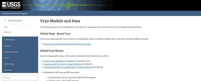
Global Vs30 Mosaic (USGS)
| Data provided by: | United States Geological Survey (USGS) |
| Data accessibility: | export data, export map, visualization of data (e.g. web GIS or real time monitoring) |
| Link to the data: | |
| Data type: | hazard specific data |
| Hazard: | Earthquake, Mass Movement |
| Disaster cycle phase: | Response, Recovery |
| Space-based Information: | Compiled Vs30 measurements obtained by studies funded by the U.S. Geological Survey (USGS) and other governmental agencies. Thus far, there are 2,997 sites in the United States, along with metadata for each measurement from government-sponsored reports, Web sites, and scientific and engineering journals. Most of the data originated from publications directly reporting the work of field investigators. A small subset (less than 20 percent) of Vs30 values was previously compiled by the USGS and other research institutions. Whenever possible, Vs30 originating from these earlier compilations were crosschecked against published reports. Both downhole and surface-based Vs30 estimates are represented. Most of the VS30 data are for sites in the western contiguous United States (2,141 sites), whereas 786 Vs30 values are for sites in the Central and Eastern United States; 70 values are for sites in other parts of the United States, including Alaska (15 sites), Hawaii (30 sites), and Puerto Rico (25 sites). |
| Spatial coverage: | United States of America |
| Temporal coverage: | Archive |
| Costs: | free |
| Contact: | Contact details of USGS |
Provider
![]()