• English
  • Español
  • Français

United
Nations


Office for Outer Space Affairs
UN-SPIDER Knowledge Portal

  • Inicio
  • Sobre nosotros
    • Sobre ONU-SPIDER
    • Acerca de UNOOSA
    • Publicaciones
    • Ofertas de trabajo
    • Conozca el Equipo
    • Contacto
  • Aplicación Espacial
    • Guías Tecnológicas
    • Mecanismos de Emergencia
    • Mecanismos de Recuperación
    • Red Internacional de Alerta de Asteroides
    • Grupo Asesor para la Planificación de Misiones Espaciales
    • Iniciativa Internacional sobre Meteorología Espacial
    • Tecnologías Espaciales en la ONU
    • Historias de Usuarios
  • Enlaces y Recursos
    • Aplicación de datos del mes
      • Disaster Recovery
    • Fuentes de Datos
    • SIG y Software de Percepción Remota
    • Recursos de capacitación en línea
    • Instituciones
  • Riesgos y Desastres
    • Gestión del Riesgo de Desastres
    • Alerta temprana
    • Gestión de Desastres y Emergencias
    • Amenazas Naturales
    • El Proceso de la Reducción de Desastres Post-2015
    • La ONU y la Gestión del Riesgo de Desastres
    • La ONU y Alerta Temprana
    • La ONU y la Gestión de Desastres
  • Asesoría
    • Misiones de Asesoría
    • Apoyo en caso de Emergencia
    • Asesoría Virtual
    • Prácticas Recomendadas
    • Actividades de Entrenamiento
    • Usos Prácticos
  • Redes
    • Oficinas Regionales de Apoyo
    • GP-STAR
    • IN-MHEWS
    • IWG-SEM
  • Proyectos
    • SPEAR
    • FOSAT-S
    • EvIDENz
    • Flood GUIDE
  • Noticias y Eventos
    • Noticias
    • Eventos
    • Eventos pasados
  • Admin
    • SAM Items

Breadcrumb

  • Home
  • Global Vs30 Mosaic (USGS)
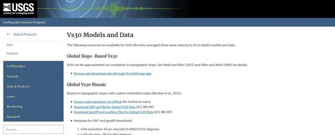
  • Global Vs30 Mosaic (USGS)

Global Vs30 Mosaic (USGS)

Data provided by:United States Geological Survey (USGS)
Data accessibility:Exportar datos, Exportar mapa, Visualización de datos (ej. web SIG o monitoreo en tiempo real)
Link to the data:
  • Access to Global Vs30 Mosaic Data
File type:GeoTIFF, grd, grd
Data type:Datos sobre amenazas específicas
Hazard:Earthquake, Mass Movement
Disaster cycle phase:Respuesta, Recuperación
Space-based Information:Compiled Vs30 measurements obtained by studies funded by the U.S. Geological Survey (USGS) and other governmental agencies. Thus far, there are 2,997 sites in the United States, along with metadata for each measurement from government-sponsored reports, Web sites, and scientific and engineering journals. Most of the data originated from publications directly reporting the work of field investigators. A small subset (less than 20 percent) of Vs30 values was previously compiled by the USGS and other research institutions. Whenever possible, Vs30 originating from these earlier compilations were crosschecked against published reports.

Both downhole and surface-based Vs30 estimates are represented. Most of the VS30 data are for sites in the western contiguous United States (2,141 sites), whereas 786 Vs30 values are for sites in the Central and Eastern United States; 70 values are for sites in other parts of the United States, including Alaska (15 sites), Hawaii (30 sites), and Puerto Rico (25 sites).
Spatial coverage:United States of America
Temporal coverage:Archivado
Costs:Gratis
Contact:Contact details of USGS

Provider

Footer menu

  • Contact
  • Terms of Use

User account menu

  • Log in