• English
  • Español
  • Français

United
Nations


Office for Outer Space Affairs
UN-SPIDER Knowledge Portal

  • Home
  • About Us
    • What is UN-SPIDER?
    • About UNOOSA
    • Publications
    • Jobs
    • Meet the Team
    • Contact
  • Space Application
    • Satellite Technology
    • Emergency Mechanisms
    • Recovery Mechanisms
    • International Asteroid Warning Network
    • Space Mission Planning Advisory Group
    • International Space Weather Initiative
    • Space Technologies in the UN
    • User Stories
  • Links & Resources
    • Data Applications
      • Disaster Recovery
    • Data Sources
    • GIS and Remote Sensing Software
    • Online Learning Resources
    • Institutions
  • Risks & Disasters
    • Disaster Risk Management
    • Early Warning Systems
    • Emergency and Disaster Management
    • Natural Hazards
    • Sendai Framework
    • The UN and Disaster Risk Management
    • The UN and Early Warning
    • The UN and Disaster Management
  • Advisory Support
    • Advisory Missions
    • Emergency Support
    • Virtual Advisory Support
    • Recommended Practices
    • Training Activities
    • Practical Uses
  • Network
    • Regional Support Offices
    • GP-STAR
    • MHEWS
    • IWG-SEM
  • Projects
    • SPEAR
    • SEWS-D
    • EvIDENz
    • Flood GUIDE
    • CommonSpace Initiative
    • Tonga Pilot Project
  • News & Events
    • News
    • Events Calendar
    • UN-SPIDER Events Archive

Breadcrumb

  • Home
  • News and Events
  • News and Events

News and Events

UN-SPIDER aims to bridge the gap between the various communities involved in using space-based information for disaster risk management and emergency response. These communities include satellite technology providers, experts in remote sensing, satellite navigation and satellite communication experts, disaster risk specialists, policy makers, disaster responders and academia. In doing so, UN-SPIDER regularly compiles and makes available news and events from these different communities.
Thu Mar 24 2011
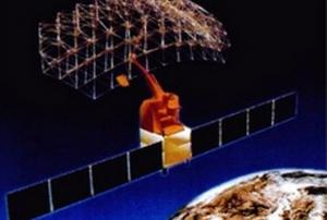
Satellite Communications Using the KIKU No. 8 to Support Disaster Measures…
read more
Thu Mar 24 2011
GEO Monitors, Analyzes, and Distributes Data on the Japan Disaster
read more
Thu Mar 24 2011
GAF to Establish a Multi-Layer Natural Resources and Land Use Database and Map…
read more
Wed Mar 23 2011
Philippines to roll out unified mapping project
read more
Wed Mar 23 2011
A new World Earthquake Intensity Map is available
read more
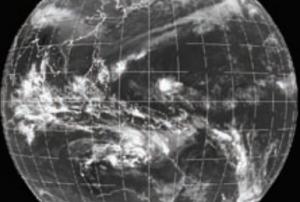
NASA IR Satellite Imagery
Wed Mar 23 2011
NASA IR Satellite Imagery Shows Cyclone Cherono Dwindling
read more
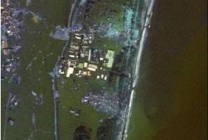
Remote Sensing Based Post-Disaster Damage Mapping
Wed Mar 23 2011
Remote Sensing Based Post-Disaster Damage Mapping
read more
Tue Mar 22 2011
UN rushes help to tsunami-stricken Japan
read more
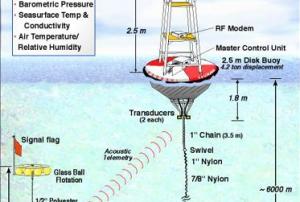
Tsunami Early Warning System
Tue Mar 22 2011
Lessons to Learn From a Tsunami Early Warning System That Worked
read more
Tue Mar 22 2011
Japan Tohoku Earthquake And Tsunami Warnings
read more

Pagination

  • First page « First
  • Previous page ‹‹
  • …
  • Page 266
  • Page 267
  • Page 268
  • Page 269
  • Current page 270
  • Page 271
  • Page 272
  • Page 273
  • Page 274
  • …
  • Next page ››
  • Last page Last »

Upcoming Events

Footer menu

  • Contact
  • Terms of Use

User account menu

  • Log in