
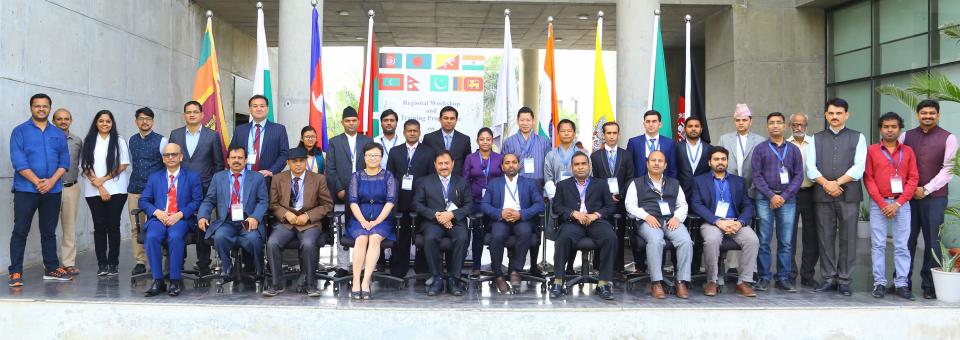
The United Office for Outer Space Affairs (UNOOSA), through its UN-SPIDER progroamme, and the Disaster Management Centre of the South Asia Association for Regional Cooperation (SAARC DMC) conducted a joint regional workshop and training on the “Utilization of Space-based and Geospatial Information for Achieving the Targets of the Sendai Framework for Disaster Risk Reduction” from 4 to 8 December in Ahmedabad, India. The one-day workshop and four-day training enhanced cooperation and sharing of best practices amongst disaster management agencies and experts in the South Asia region.
The events brought together about 30 officials from right SAARC member countries representing key institutions involved in disaster risk reduction and emergency response. The participants became aware of advances in Earth observation and geospatial technologies for disaster risk reduction and emergency response, especially for implementing Sendai Framework for Disaster Risk Reduction. They also learned about international emergency mechanisms such the International Charter “Space and Major Dissaster”, Sentinel Asia, and the Copernicus Emergency Management Service (EMS). Participants also learned about the capacity building opportunities in the region for utilization of space based and geospatial information in disaster management.
The programme was organised in collaboration with the International Water Management Institute (IWMI) and Centre for Space Science and Technology Education in Asia and the Pacific (CSSTEAP). In addition to the experts from UN-SPIDER, IWMI and CSSTEAP, experts from the Space Applications Centre (SAC) and the National Remote Sensing Centre (NRSC) of the Indian Space Research Organisation (ISRO), and from the Bhaskaracharya Institute for Space Applications and Geo-Informatics (BISAG) contributed to the event.
The training included talks by experts on the Sendai Framework, the role of Earth observation and GIS and its applications for disaster risk assessment, demonstration of operational disaster management models and tools based on satellite navigation and Interferometric synthetic aperture radar (InSAR) techniques. Hands-on sessions included flood and drought risk assessment, open source data portals, drought hazard assessment, flood inundation modelling, rapid response mapping and location-based data collection using open data kit (ODK) to support hazard and risk information. Discussion sessions were conducted on accessing international mechanisms during emergency response.
A one-day workshop was conducted as an outreach event for to plan future programmes in the region. The workshop discussed a need of preparing procedural guidelines and standard operating procedure in utilization of space-based and geospatial information in support of the Sendai Framework. The workshop ended with live demonstration of Mobile Satellite Services (MSS), VSAT Terminals and NavIC Messaging Receivers by the Space Applications Centre of ISRO.