  • English
  • Español
  • Français

United
Nations


Office for Outer Space Affairs
UN-SPIDER Knowledge Portal

  • Home
  • About Us
    • What is UN-SPIDER?
    • About UNOOSA
    • Publications
    • Jobs
    • Meet the Team
    • Contact
  • Space Application
    • Satellite Technology
    • Emergency Mechanisms
    • Recovery Mechanisms
    • International Asteroid Warning Network
    • Space Mission Planning Advisory Group
    • International Space Weather Initiative
    • Space Technologies in the UN
    • User Stories
  • Links & Resources
    • Data Applications
      • Disaster Recovery
    • Data Sources
    • GIS and Remote Sensing Software
    • Online Learning Resources
    • Institutions
  • Risks & Disasters
    • Disaster Risk Management
    • Early Warning Systems
    • Emergency and Disaster Management
    • Natural Hazards
    • Sendai Framework
    • The UN and Disaster Risk Management
    • The UN and Early Warning
    • The UN and Disaster Management
  • Advisory Support
    • Advisory Missions
    • Emergency Support
    • Virtual Advisory Support
    • Recommended Practices
    • Training Activities
    • Practical Uses
  • Network
    • Regional Support Offices
    • GP-STAR
    • MHEWS
    • IWG-SEM
  • Projects
    • SPEAR
    • SEWS-D
    • EvIDENz
    • Flood GUIDE
  • News & Events
    • News
    • Events Calendar
    • UN-SPIDER Events Archive

Breadcrumb

  • Home
  • News and Events
  • View Active News
  • Sansa Launched Mosaic of Satellite Imagery of South Africa
  • Sansa launched mosaic of satellite imagery of South Africa

Sansa launched mosaic of satellite imagery of South Africa

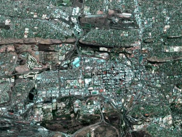
The Earth Observation division of the South African National Space Agency (Sansa) launched their 2011 edition of its mosaic of satellite imagery of the whole of South Africa. The data consisting of more than 1000 images was collected from 24 January 24 to 20 December 2011 with the Spot 5 earth observation satellite. The imagery can be used for various purposes ranging from housing and urban planning to agricultural observation to environmental monitoring. The disks with the images are being sent to each Southafrican province; others go to the Presidency, government departments and government agencies such as South African National Parks. Spot 5 was launched in 2002 and is operated by European space company Astrium.

Engineeringnews
Thu, 15 Mar 2012 - 12:45

Footer menu

  • Contact
  • Terms of Use

User account menu

  • Log in