Regional Symposium and Training on Space Technologies for Humanity in Nairobi
From 16–20 February 2026, the Regional Symposium on Space Technologies for Humanity (16–17 February) was held in Nairobi, followed by a Regional Training on the International Charter.
Organized by the Regional Centre for Mapping of Resources for Development (RCMRD) with the support of UN-SPIDER / UNOOSA and the Center for Remote Sensing of Land Surfaces, University of Bonn (ZFL), the events brought together development partners, practitioners, UN entities, researchers, and private-sector innovators to exchange knowledge, share experiences, and foster collaboration.
The Symposium and Training were held in collaboration with the United Nations Office for Disaster Risk Reduction Regional Office for Africa (UNDRR-Africa) and Esri.
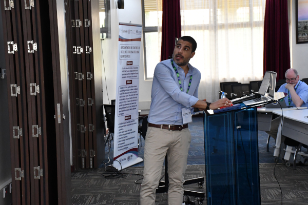
Regional Symposium on Space Technologies for Humanity
16–17 February 2026
With the support of UN-SPIDER, ZFL and contributions from UNDRR and Esri Eastern Africa, RCMRD convened this Symposium to create a forum for policy makers, practitioners, development partners, private sector representatives, researchers, UN agencies, and civil society to explore strategic pathways for mainstreaming space technologies into national and regional development agendas.
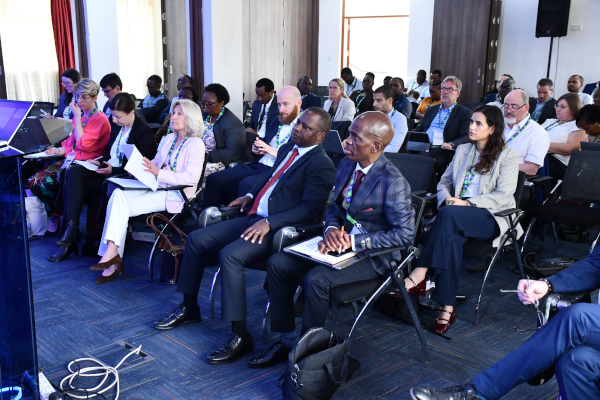
The two-day symposium convened over 70 participants to explore how space technologies can support sustainable development, early-warning systems, and disaster risk reduction across sectors such as food security, healthcare, water management, and climate resilience.
Key highlights included:
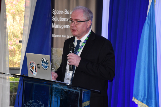
• Opening remarks by UN-SPIDER, the International Charter: Space and Major Disasters, ZFL, UNDRR, Esri and RCMRD highlighting the need for practical applications of satellite data for planning, early warning, and disaster response.
• Engagement of African regional national authorities, including the Southern African Development Community (SADC) and its Humanitarian and Emergency Operations Centre (SHOC), the East Africa Intergovernmental Authority on Development(IGAD) and its Climate Prediction & Applications Centre, Kenya Space Agency, Rwanda MINEMA, ICPAC and the Kenya Meteorological Department and the Kenya National Disasters Operations Center, sharing lessons from operational disaster management.
• Inputs by the German Space Agency, Italian Space Agency, the UN Office for the Coordination of Humanitarian Affairs (UN OCHA) Regional Office for Southern and Eastern Africa (ROSEA), and the United Nations Population Fund (UNFPA)
• Private-sector showcases and innovation sessions, featuring companies such as SokoFresh™, agriBORA,LocateIt,ESRI Eastern Africa, iMMAP,ICIPE Remote Sensing Solutions GmbH, EurA AG,IABG,terrasplasma GmbH as well as represenatives from the healthcare sector, including LMU Munich University Hospital and UNITID - University of Nairobi Institute for Human Virology & Infectious Diseases
• Interactive sessions, including coffee breaks and an icebreaker, fostering networking and collaboration across the public and private sectors.
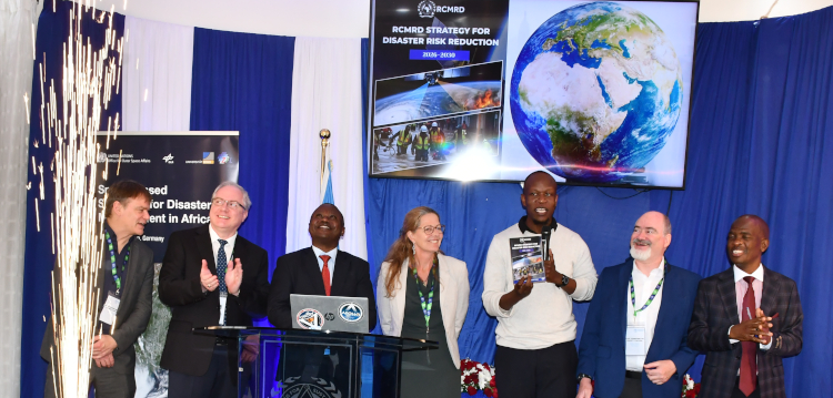
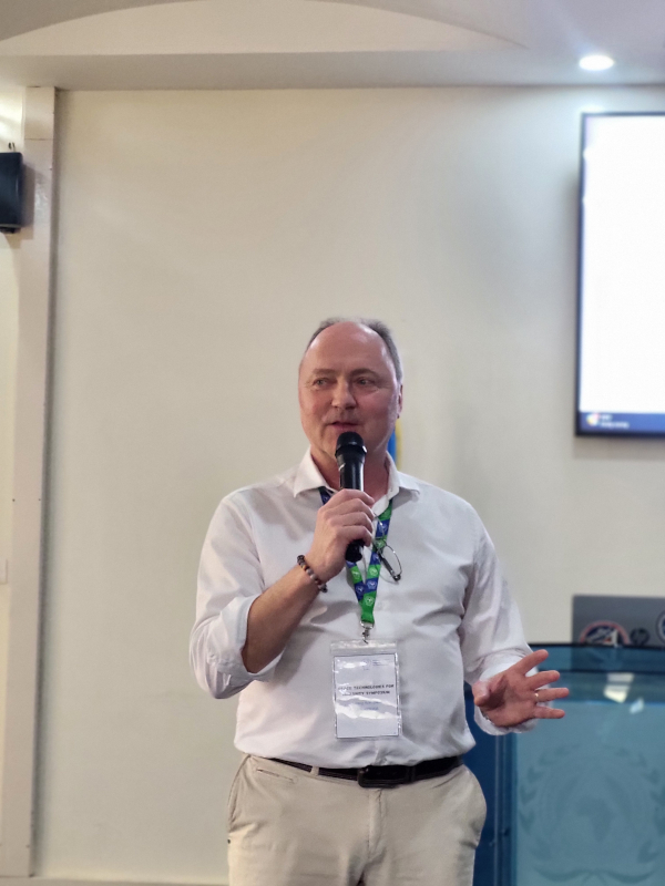
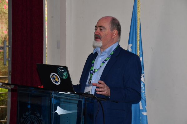
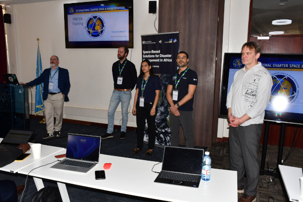
Impressions from the Opening Session of the Regional Symposium
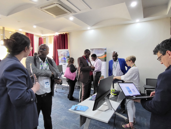
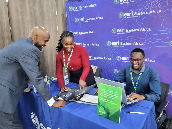
Marketplace: Exploring Practical Applications of Space-Based Solutions
The Marketplace offered valuable networking opportunities for participants to engage with private-sector representatives from Kenya and Germany and learn more about the potential of space-based information and data. The exchanges highlighted practical applications of space technologies in areas such as agriculture, health, food security, and broader socio-economic development.
Through direct conversations with companies and technology providers, participants gained insights into innovative tools, data services, and operational solutions that can support decision-making and risk reduction.
Regional Training: Space Technologies for Disaster Management
- the Use of the COS-2 and the Charter Mapper during Activations
17–20 February 2026
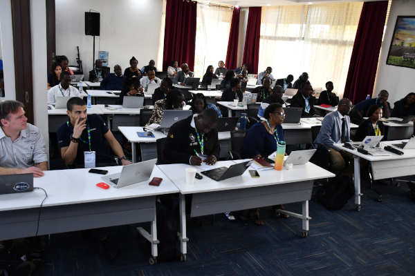
Following the symposium, the 3.5-day Regional Training focused on the practical use of space-based information for disaster management, with hands-on exercises using COS-2 and the Charter Mapper.
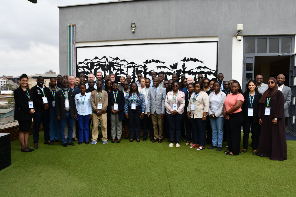
The training gathered 59 participants from eight countries: Kenya, Mozambique, Uganda, Burundi, Rwanda, Somalia, Tanzania and Ethiopia, including project managers, early warning specialists, and remote-sensing analysts. The exchange of national experiences encouraged meaningful regional dialogue and concrete strategies for climate- and disaster-resilient action.
The opening session of the training covered presentations by UN-SPIDER, ZFL, RCMRD, the International Charter Space and Major Disasters and ESRI.
The following days were led by the International Charter, focusing on use cases for floods, storms, earthquakes, and volcanic eruptions, emphasizing regional cooperation and coordinated early-warning systems.
Simulated activations allowed participants to practice the use of the Charter Mapper and geospatial tools during emergencies.
Impact and Outcomes
The regional training course, mainly facilitated by the International Charter in support with UN-SPIDER, ZFL and RCMRD aimed to promote the use of space-based information in disaster management and emergency response.
During the course, participants were introduced to different steps involved in accessing and processing satellite data and in producing maps that can support disaster response. The practical sessions focused in particular on the use of cloud-based processing environments, allowing participants to learn about workflows that reduce the need for extensive local data processing and bandwidth.
As part of the training, participants worked with satellite data and were guided through the process of generating value-added products using the Charter Mapper platform. These exercises resulted in several example products created during the course, illustrating the methods and workflows presented during the training.
In summary, the participants
- Acquired information on how any national disaster management authority can become an Authorised User (AU) of the Charter.
- Learned the Charter workflows and the operational roles of Project Managers and Value Added Providers.
Co-facilitators during the Regional Training - Ran simulated activations to produce operational Value Added Products from satellite imagery.
- Worked in teams and completed workflow chains to create final products, moving from product selection to map composition and upload.
- Built peer connections that form an informal regional network for rapid support during real activations.
- Gained an increased awareness of successful applications and best practices that can be replicated across the region.
- Strengthened regional network for knowledge exchange, collaboration, and support during future International Charter activations.
On the last day, representatives from the Southern African Development Community – Regional Humanitarian and Operations Centre (SADC-SHOC) and the African Union provided insights into early warning systems through regional initiatives such as the Africa Multi Hazard Early Warning and Early Action Situation Room (AMHEWAS). Their presentations highlighted how early warning mechanisms and disaster risk reduction are embedded within existing African regional networks and coordination frameworks. This provided participants with a clearer understanding of the institutional landscape across the continent and underscored the importance of strong regional cooperation and information sharing to strengthen preparedness and early action.
The training concluded with a feedback session, where participants were invited to share their insights, perspectives, and recommendations. The feedback session also explored which elements of the training they plan to apply in their respective countries or institutions.
Following this session, participants ceremoniously received their training certificates, marking the official conclusion of the training.

Key Takeaways from Nairobi
- Strengthen uptake of Earth observation across sectors: agriculture, health, water resources, climate resilience, and disaster risk management.
- Enhance multi-stakeholder coordination: better collaboration between national authorities, regional organizations, UN entities, and the private sector.
- Deepen private-sector engagement: support scalable solutions that turn satellite insights into actionable impact.
- Leverage existing space-based data: for planning, early warning, and emergency response, including through membership in the International Charter: Space and Major Disasters.
The events set the stage for continued collaboration, capacity building, and mainstreaming of space technologies into national and regional development agendas. Participants emphasized that effective early warning and disaster response require strong partnerships across all levels.