Recommended Practice: Flood Mapping Practice Using Sentinel-1 and Sentinel-2 Imagery
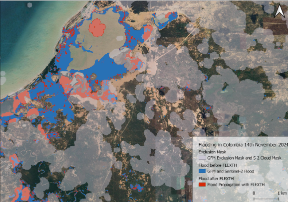
UN-SPIDER has published a new Recommended Practice that leverages both Sentinel-1 Synthetic Aperture Radar (SAR) and Sentinel-2 optical imagery to improve flood detection and mapping. Developed by the Regional Centre for Mapping of Resources for Development (RCMRD), this method offers a multispectral and radar-based approach to identifying flood-affected areas with greater precision, especially in regions with persistent cloud cover or challenging terrain.
The practice outlines a clear workflow using Google Earth Engine and QGIS to generate flood extent maps that can support emergency response and early recovery efforts. The integration of radar and optical data helps overcome the limitations of relying on a single satellite source, enabling consistent monitoring even during adverse weather conditions.
This methodology was applied to flood events in Mozambique, demonstrating how it can be adapted for both real-time monitoring and historical analysis. It provides crucial information for local authorities, disaster management agencies, and humanitarian actors who require timely and accurate data to guide field operations and assess damage.
To ensure broad accessibility, the Recommended Practice includes step-by-step instructions, sample code, and detailed documentation for users at various technical levels. Its open-source design supports capacity-building initiatives and reflects UN-SPIDER’s mission to make space-based solutions available for disaster risk reduction, particularly in developing countries.
The release of this practice also contributes to the implementation of the Sendai Framework and advances Sustainable Development Goals such as SDG 11 (Sustainable Cities and Communities), SDG 13 (Climate Action), and SDG 17 (Partnerships for the Goals). Access the full practice here: Recommended Practice: Flood Mapping with Sentinel-1 and Sentinel-2 Imagery and Digital Terrain Models | UN-SPIDER Knowledge Portal