• English
  • Español
  • Français

United
Nations


Office for Outer Space Affairs
UN-SPIDER Knowledge Portal

  • Home
  • About Us
    • What is UN-SPIDER?
    • About UNOOSA
    • Publications
    • Jobs
    • Meet the Team
    • Contact
  • Space Application
    • Satellite Technology
    • Emergency Mechanisms
    • Recovery Mechanisms
    • International Asteroid Warning Network
    • Space Mission Planning Advisory Group
    • International Space Weather Initiative
    • Space Technologies in the UN
    • User Stories
  • Links & Resources
    • Data Applications
      • Disaster Recovery
    • Data Sources
    • GIS and Remote Sensing Software
    • Online Learning Resources
    • Institutions
  • Risks & Disasters
    • Disaster Risk Management
    • Early Warning Systems
    • Emergency and Disaster Management
    • Natural Hazards
    • Sendai Framework
    • The UN and Disaster Risk Management
    • The UN and Early Warning
    • The UN and Disaster Management
  • Advisory Support
    • Advisory Missions
    • Emergency Support
    • Virtual Advisory Support
    • Recommended Practices
    • Training Activities
    • Practical Uses
  • Network
    • Regional Support Offices
    • GP-STAR
    • MHEWS
    • IWG-SEM
  • Projects
    • SPEAR
    • SEWS-D
    • EvIDENz
    • Flood GUIDE
  • News & Events
    • News
    • Events Calendar
    • UN-SPIDER Events Archive

Breadcrumb

  • Home
  • News and Events
  • View Active News
  • Ordnance Survey Launches a New International GIS Organization
  • Ordnance Survey launches a new international GIS Organization

Ordnance Survey launches a new international GIS Organization

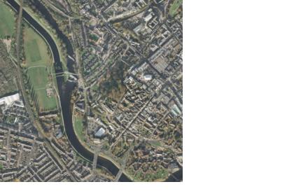
OS MasterMap Imagery Layer

Ordnance Survey, the national mapping agency of Great Britain, will be launching in September a new international organization, Ordnance Survey International. The aim of this new international service is to help other countries around the world un-tap the potential of accurate geographic information (GI) by promoting the nation’s knowledge and expertise overseas and by providing expert advice and services in fields such as data collection and maintenance, product development and geospatial data management. Over the past decade there has been a global recognition of the importance of geospatial information, this initiative will enable international customers to develop and enhance their own business requirements while reaping the benefits.
Ordnance Survey
Thu, 16 Aug 2012 - 14:50

Footer menu

  • Contact
  • Terms of Use

User account menu

  • Log in