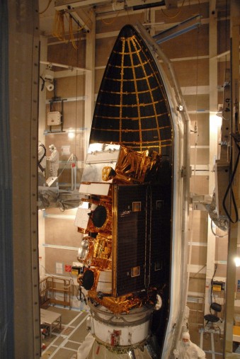
A new type of Earth-observing satellite has been launched into orbit. The National Polar-orbiting Operational Environmental Satellite System (NPOESS) Preparatory Project, or NPP, will fly at an altitude of 824 km in a polar orbit similar to that of its predecessors, the Earth Observing System satellites – Terra, Aqua and Aura. Built on the past decade’s work, NPP is a scientific powerhouse armed with five instruments that will improve observations of the land and ocean, the ozone hole, Earth’s energy balance and daily weather.
Begun in a partnership between NASA, the National Oceanic and Atmospheric Administration (NOAA) and the Air Force, NPP was reorganized from the National Polar-orbiting Operational Environmental Satellite System into the Joint Polar Satellite System (JPSS), which NASA is developing for NOAA.
Scientists who have been eagerly awaiting NPP’s launch and the promise of new data also are excited for another reason: The potential for unbroken data records. An unbroken data record is essential for finding small changes in a big system – Earth’s climate. NPP will bridge the gap between the record begun with Terra’s launch in 1999 and the next generation of Earth-observing satellites of JPSS in the coming decade.
“People often confuse weather and climate,” says NPP Project Scientist Jim Gleason. “Weather is what is going to happen tomorrow or this weekend. Climate is what happens over years and decades.”
To get a handle on how climate changes over those years and decades, scientists need a lot of data over a long period of time so that they can distinguish a true trend from the noise – the wiggles on a graph that represent the daily, weekly, seasonal and yearly fluctuations. The instruments on NPP will not only stretch the record longer, but more than 30 datasets also will help scientists answer the questions of how different parts of the climate system are changing, and more importantly how they interact as they change.
According to Gleason, these questions range from the basic to the complex. If the data show droughts increasing, for example, he asks, “As it gets dryer, is the amount of dust coming off the Chinese desert increasing? And what does that dust do to other places?” Airborne dust, or aerosols, can rapidly travel thousands of miles and interact with clouds, which themselves influence the transport of water and energy through the climate system. The five NPP instruments, like a Swiss Army knife, are poised to answer different questions that ultimately build a bigger picture of the whole climate system.
The data the instruments provide also will improve and serve as a check on computer models that predict future climate. With the long-term data, scientists can compare model results with the actual observations of the past decades to see how well the model works. From there, scientists can take the NPP’s data and improve the models.
“NPP’s observations will help us make better long-term datasets which enable us to make better models, which lead to better predictions and better decisions,” says Gleason.
The decisions can be complex or as simple as whether to take an umbrella to work tomorrow. Among NPP’s many scientific missions is its use as an operational weather satellite by NOAA. Atmospheric data, including improved temperature and moisture profiles, will be added to NOAA’s weather prediction models.
Following 10 weather disasters in 2011 costing more than $1 billion each, the stakes for accurate and timely weather prediction are clear. Louis Uccellini, director of NOAA’s National Centers for Environmental Prediction, says that with NPP’s global data, “We expect to be advancing our forecast skills out to five to seven days in advance of extreme weather events, including hurricanes.”
Hurricanes aren’t the only disasters NPP will be keeping an eye on. And disaster monitoring is only the tip of the proverbial iceberg (which NPP will also be watching out for). NPP’s day-to-day observations will contribute to a number of scientific and societal applications.
FIRE
Satellite images of big disasters make compelling news photos, but they also are tools. For instance, take the true-color Moderate-Resolution Imaging Spectroradiometer (MODIS) images of the 2011 Wallow fire that show smoke plumes billowing for miles across Arizona and New Mexico. First-responders and air quality experts used the images to track the fire and smoke, and scientists will use post-fire images to study forest recovery of burned areas. NPP’s Visible Infrared Imaging Radiometer Suite (VIIRS) is the successor to MODIS and will continue providing data on events such as fires, floods and volcanic eruptions, as well as on long-term vegetation changes that affect ecological and agricultural research.
AIR
In addition to atmospheric data for weather, NPP will monitor atmospheric ozone concentrations. In the upper atmosphere, ozone forms a shield that blocks dangerous ultraviolet radiation coming from the sun. In the lower atmosphere, ozone is a harmful air pollutant. The newly designed Ozone Mapping and Profiling Suite (OMPS) will detect concentrations of ozone in both regions, keeping an eye on the ozone hole over Antarctica.
WATER
For our watery planet, NPP will observe different aspects of the water cycle, oceans and ice. Among the datasets it will return are ocean color chlorophyll for evaluating phytoplankton, the base of the marine food chain; changes in ice cover over both land and sea; and temperature and moisture profiles in the atmosphere that contribute to weather forecasting and understanding of clouds, which are among the least predictable natural phenomena.
ENERGY
Energy in the form of heat is the major driver of atmospheric circulation – the pattern of air movements around the world. NPP will contribute to understanding the balance of heat coming in from the Sun, heat radiating out into space and heat moving in real time around the globe, contributing to weather systems, and ultimately to Earth’s complex climate system.