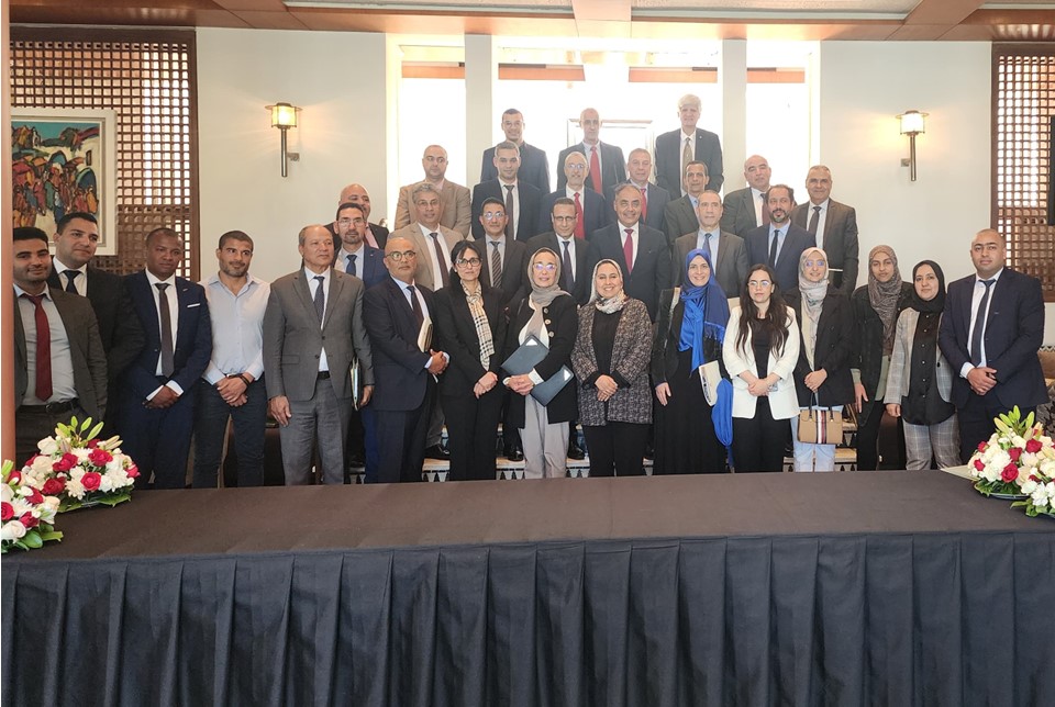
On 20 May 2022, the Disaster Risk Management Directorate of the Ministry of Interior of the Kingdom of Morocco organized a national workshop on the use of geospatial information in disaster risk management. More than thirty national government agencies, as well as UNOOSA and UN-SPIDER, were invited to the national workshop, which was held in Rabat. The workshop was organized to:
- Inform decision-makers about satellite applications during the different phases of risk and disaster management;
- Discuss methods and procedures to improve accessibility to satellite services for risk and disaster management;
- Collect feedback from stakeholders on user needs and experiences regarding the integration of the mentioned services;
- Formulate recommendations for improvement and optimal use of geospatial information
- Compile suggestions to elaborate a roadmap to enhance the use of geospatial information in disaster risk management applications in the short, medium and long term.
The welcoming remarks were made by the Director of the Disaster Risk Management Directorate of the Ministry of Interior, UNOOSA, the Fund of Solidarity against Disaster Events (FSEC), and the Royal Centre For Remote Sensing (CRTS). In his welcoming remarks, Mr. Driss El Hadani, Deputy Director of UNOOSA, stressed the importance regarding the usefulness of space-based and geospatial information in disaster risk reduction and disaster response efforts, and the benefits of interinstitutional collaboration to generate relevant information on a timely basis for its subsequent use.
The Disaster Risk Management Directorate and other government agencies shared information on their efforts to set up geospatial platforms to manage and visualize geospatial information on risks. UN-SPIDER shared information on examples of ways in which government agencies in other countries collaborate to generate space-based information in case of disasters and provided the example of the National Integrated Information System for Disaster Risk Management and Emergency Response established by the National Emergency Commission of the Dominican Republic.
After the presentations, participants made relevant and useful technical and organisational comments to optimise the use of geospatial information in disaster risk management, which led to several recommendations and key elements for the elaboration of the road map.