The International Federation of Red Cross and Red Crescent Societies (IFRC) has published a booklet with guiding principles on community early warning systems. The booklet is available online. Early warning is one of many important tools that contribute to the prevention of disasters and preparedness for hazards and threats, of any kind. It greatly enhances disaster risk reduction.
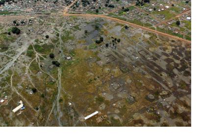
The booklet does not only explain theoretical concepts and procedures, but also showcases lessons learned and good practices. On several occasions, the report highlights the importance of satellite-based data for community early warning systems. For example regarding risk knowledge, the authors underscore: "Acknowledging the importance of establishing and updating baselines, early warning actors such as WFP’s vulnerability assessment and mapping unit (often with the FAO and USAID’s Famine Early Warning System) produced vulnerability assessments for many countries across the globe from as early as 1990. These were mainly annual snapshots of vulnerability overlaid with common hazards at the country level. At this level, it has long been possible to capitalize on remote sensing technology; for example, rainfall estimates derived from satellite imagery can fill in gaps between a handful of rain station observations in a large country. These layers form part of the risk profile."
While space-based information can give valuable input in assessing risks and vulnerabilities, the experts also stress that these information are only useful if people are set at the core of early warning processes: "The International Federation of the Red Cross and Red Crescent Societies advocates, however, for a more people-centred approach that is essential to ensure information and warnings captured by satellites, computer modelling and other technologies reach the most vulnerable communities, who can then act on them. Early warnings alone do not keep hazards from turning into disasters."

