Broader and improved access to satellite data is boosting the Global Monitoring for Environment and Security programme.
The aim of the Global Monitoring for Environment and Security (GMES) programme is to provide accurate, timely and easily accessible information. This will improve the management of the environment, understand and mitigate the effects of climate change and support decision-making in emergency and crisis situations.
To achieve these goals, the EU-led initiative relies on a wide range of satellite data from over 40 European and international space missions, along with other environmental datasets, provided through the Data Access system of the GMES Space Component.
With this GMES Space Component Data Access scheme, Earth observation data are made available in a unified manner to European service providers on Earth’s land, oceans and atmosphere, climate, security and emergency response management.
Since the beginning of the data access initiative in 2007, this scheme has provided a wide range of Earth observation data to GMES services.
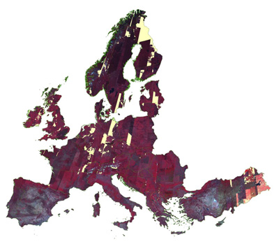
This included high-resolution images for the European Urban Atlas, images and data for monitoring land use at European level and delivering validated biophysical products across Europe.
It also provided radar and optical images for emergency mapping during crises and made many other on-demand products based on available satellite imagery.
Now, the initiative is entering a new phase that will last until 2014.
Data will be available faster and easier to a larger community of users through a dedicated web-based portal.
The portal will be used for all data requests and transactions, and integrates all elements into a comprehensive online catalogue.
This new system aims to improve upon the existing service performance and reduce the response time to data requests, especially when dealing with situations like natural and man-made disasters.
ESA and the European Commission have already invested over €50 million into this system and will, in this new phase, invest close to €90 million more.
With the launch of the first Sentinel mission scheduled for mid-2013, even more datasets will be available for the GMES Space Component.