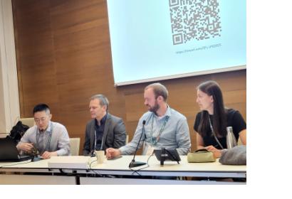
Vienna, 23 June 2025 – The Living Planet Symposium (LPS 2025), organized every three years by the European Space Agency (ESA), took place from 23 to 27 June 2025 at the Austria Center in Vienna, Austria. LPS brought together thousands of Earth observation scientists, policymakers, and industry leaders to explore how satellite data can drive climate action and sustainable development.
On Monday, 23 June, a joint session by UN-SPIDER and the Center for Remote Sensing of Land Surfaces (ZFL) at the University of Bonn showcased the latest innovations in flood mapping under the SPEAR Project. The session introduced participants to UN-SPIDER’s step-by-step Recommended Practices for flood hazard mapping, accessible via the UN-SPIDER Knowledge Portal.

Attendees first learned how to use digital elevation models (DEMs) in QGIS to model storm surges, then moved on to applying Google Earth Engine (GEE) for flood response and recovery mapping—both approaches grounded in the Recommended Practice framework. Lastly, the latest project of UN-SPIDER was introduced, an AI-driven Digital Twin technology, illustrating future flood and sea level rise scenarios in Accra, Ghana, and Tobago through interactive 3D models.
The session featured expert insights from UNOOSA/UN-SPIDER and ZFL, University of Bonn.
The collaborative presentation demonstrated how combining Earth observation, open-source tools, and AI enhances preparedness and resilience in high-risk regions. These digital representations of real-world environments hold great potential for disaster risk management, as they demonstrate in interactive 3D applications how specific areas are affected by various events.
Read more about the new Recommended Practices here:

