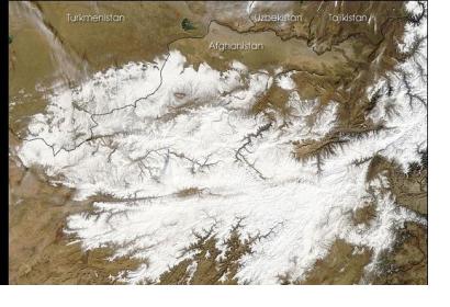
In 2004 the United States Geological Survey (USGS) and the Afghanistan Geological Survey (AGS) began working in partnership to rebuild the country's geologic science capacities. The goal is to monitor Afghanistan's water resources by applying modern techniques using global positioning systems, hydrology, water sampling and development of water resource databases.
During the first year of this partnership over 150 wells were inventoried creating a data subset. Today, the programme is successfully installed and 102 precipitation monitoring stations are being operated recording rain, snow and other meteorological parameters needed for the calibration and validation of remote sensing models in use in Afghanistan. Monitoring over ten years indicated a decrease of water levels in Kabul.
“Now after 10 years of groundwater-level monitoring, recent analysis of the data shows an improved understanding of groundwater resources and its sustainability in Kabul. AGS engineers have established similar groundwater monitoring networks in other major cities across Afghanistan, which are critical for understanding current conditions and water availability at other population and economic centers,” said Thomas Mack, USGS hydrologist.

