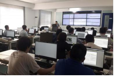
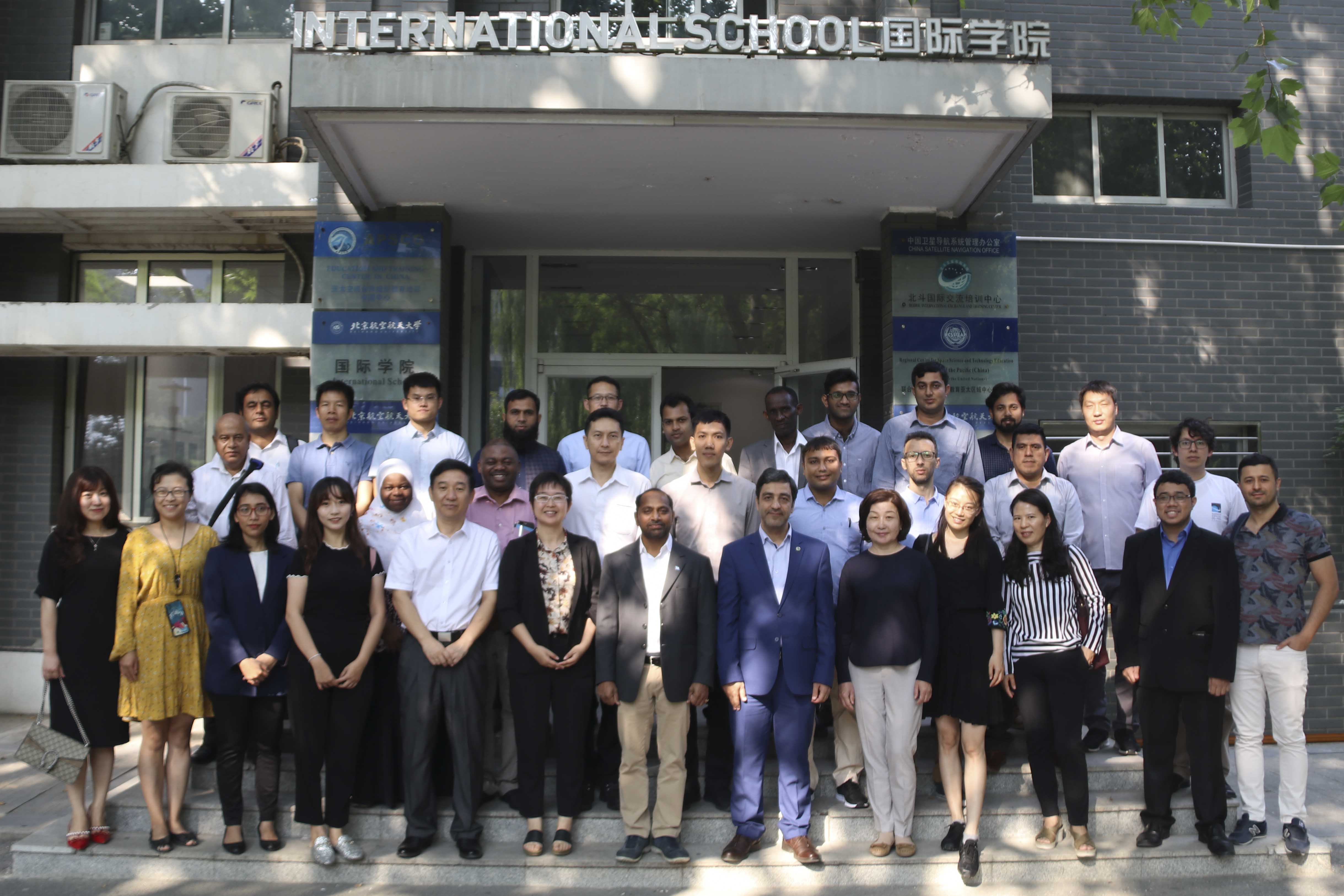
In the run up to this year's UN-SPIDER Beijing conference on 11 and 12 September, 30 participants from around Asia attended the international training programme on space-based technologies for disaster risk assessment from 5 to 9 September, which was hosted at the Regional Centre for Space Science Technology Education in Asia and the Pacific (RCSSTEAP) based at Beihang University, Beijing. The training was co-organised by UNOOSA and its UN-SPIDER Beijing office, the Asia Pacific Space Cooperation Organisation (APSCO) and the National Disaster Reduction Centre of China. Experts from the National Disaster Reduction Centre of China, Delta State University, the International Water Management Institute and Airbus, Supermap and UN ESCAP conducted the lectures and hands-on sessions.
The training covered following topics: Application of UAV remote sensing in disaster monitoring and loss assessment, automatic interpretation of high-resolution remote sensing images based on deep learning for disaster monitoring and loss assessment, 3D-modeling of UAV images. Participants also had the opportunity to receive training in the use of digital elevation data (WorldDEM) for coastal flood modeling, application of Earth observation data and modelling tools in managing floods and drought, and the application of geographic information systems (GIS) in natural disaster prevention and reduction.
This was the sixth such training organized by UN-SPIDER as part of its efforts to build the capacity of developing countries in using space-based information for disaster management and emergency response. Participants of the training also participated in the annual UN-SPIDER Beijing conference.


