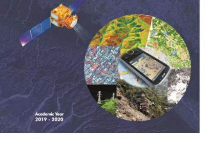
The Centre for Space Science and Technology Education in Asia and the Pacific (CSSTEAP), which is affiliated to the United Nations, will run its 24th postgraduate programme in Remote Sensing & Geographic System (RS & GIS) starting this July. The two-year programme open for 20 participants will be held at the Indian Institute of Remote Sensing (IIRS), which is a unit of the Indian Space Research Organisation (ISRO), in Dehadrun. The deadline for applications for the programme is 28 February 2019.
The course is directed towards professionals and specialists working in universities and other educational institutes, who are involved in natural resources and environmental management. After developing and enhancing fundamental skills in RS and GIS, students will learn the application of RS and GIS in thematic disciplines such as marine and atmospheric science or agriculture and soil. Experts from Europe, Asia and the US as well from UNOOSA and UN-SPIDER have delivered lectures at the postgraduate programmes in the past.
The RS & GIS programme, like all of the postgraduate courses, is split into two phases: in phase I, students study at the Dehadrun Campus for nine months, while in phase two, they return to their home country to conduct a research project for several months. It is one of many programmes CSSTEAP offers at one of its four campuses in India. Besides five other postgraduate programmes clustered into relevant disciplines of space science and technology, there are master programmes and short courses of two to four weeks. So far, CSSTEAP has conducted 55 postgraduate courses in total with over 2000 participants from 36 countries in the Asia-Pacific region.
CSSTEAP is one of six Regional Centres for Space Science and Technology Educationaffiliated to the United Nations established by UNOOSA. Its aim is to provide capacity-building in space technology in developing countries by creating education in space-based research information. The RS & GIS postgraduate course is an important tool for contributing to the development and management of this discipline in the participants’ countries, where they can act as catalysts for reinforcing the skills of other professionals.


