![]()
United
Nations
trends.earth QGIS Plugin
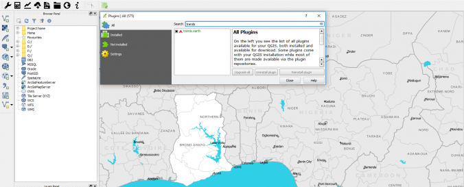
| Description: | trends.earth is a QGIS extension for analyzing land changes. Various tools allow visualization, download and analysis of data. With the visualization tool, base maps of all countries, including main cities, water bodies and administrative borders can be downloaded. Through the download option processed land-cover, precipitation maps and more that are freely available can be downloaded through the app. The app aims to help achieve the Land Degradation Neutrality (LDN) Sustainable Development Goal (SDG), and to support reporting to the Global Environment Facility (GEF) and United Nations Convention to Combat Desertification (UNCCD). The data sources drawn on are listed below: - NDVI AVHRR/GIMMS 1982-2015 8 km Global Public Domain MOD13Q1-coll6 2001-2016 250 m Global Public Domain - Soil moisture MERRA 2 1980-2016 0.5° x 0.625° Global Public Domain ERA I 1979-2016 0.75° x 0.75° Global Public Domain - Precipitation GPCP v2.3 1 month 1979-2016 2.5° x 2.5° Global Public Domain GPCC V7 1901-2016 1° x 1° Global Public Domain CHIRPS 1981-2016 5 km 50N-50S Public Domain PERSIANN-CDR 1983-2015 25 km 60N-60S Public Domain - Evapotranspiration MOD16A2 2000-2014 1 km Global Public Domain - Land cover ESA CCI Land Cover 1992-2015 300 m Global CC by-SA 3.0 - Soil carbon Soil Grids (ISRIC) Present 250 m Global CC by-SA 4.0 - Agroecological Zones FAO - IIASA Global Agroecological Zones (GAEZ) 2000 8 km Global Public Domain - Administrative Boundaries Natural Earth Administrative Boundaries Present 10/50m Global Public Domain |
| Software type: | Extension |
| Accessibility: | Install only |
| Requirements: | QGIS 2.18 is required, the plugin was reported broken in 2.14.and is not yet available for QGIS 3 or 3.2 (Some suggested QGIS 3 fixes can be found on github). |
| Computer System: | Windows, MacOSX, Linux, UNIX |
| Scope: | Image processing, Visualisation |
| Vector/Raster: | Vector, Raster |
| Graphical user interface: | Yes |
| Costs: | Free |
![]()