![]()
United
Nations
Monteverdi (CNES)
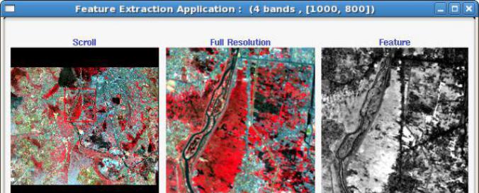
| Description: | Orfeo ToolBox (OTB) is an open-source C++ library for remote sensing images processing, distributed under the CeCILL-v2 license. It has been initiated and funded by CNES (French space agency) in the frame of a program named ORFEO to prepare, accompany and promote the use and the exploitation of the images derived from Pléiades satellites (PHR). Orfeo ToolBox aims at enabling large images state-of-the-art processing even on limited resources laptops, and is shipped with a set of extensible ready-to-use tools for classical remote sensing tasks, as well as a fully integrated, end-users oriented software called Monteverdi. |
| Software type: | Desktop image processing (remote sensing software - raster data) |
| Website: | https://www.orfeo-toolbox.org/ |
| Accessibility: | Install only |
| Computer System: | Windows, MacOSX, Linux |
| Scope: | Image processing, Visualisation |
| Vector/Raster: | Vector, Raster |
| Graphical user interface: | Yes |
| Costs: | Free |
![]()