![]()
United
Nations
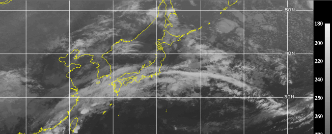
Storm Coverage - archived data (CIMMS)
| Data provided by: | Cooperative Institute for Meteorological Satellite Studies / University of Wisconsin-Madison (CIMSS-WISC) |
| Data accessibility: | statistical data (e.g. graphs), visualization of data (e.g. web GIS or real time monitoring) |
| Link to the data: | |
| Data type: | hazard specific data |
| Hazard: | Severe Storm |
| Disaster cycle phase: | Disaster Risk Management, Response, Recovery |
| Space-based Information: | Weather Satellites |
| Spatial coverage: | Global |
| Spatial resolution: | 1000.00 |
| Temporal coverage: | Archive |
| Content dates: | 1995 - today |
| Technical Specifications: | |
| Costs: | free |
| Contact: | Contact CIMMS |
| Restrictions/ Citation of the dataset: | If any of the images provided are to be displayed elsewhere (internet, publications, etc.), please reference CIMSS. |
Provider
![]()