![]()
United
Nations
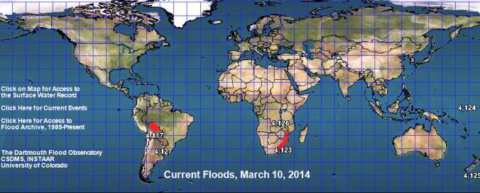
Space-based Measurement, Mapping, and Modeling of Surface Water (DFO)
| Data provided by: | Dartmouth Flood Observatory (DFO) |
| Data accessibility: | export data, export map, statistical data (e.g. graphs), visualization of data (e.g. web GIS or real time monitoring) |
| Link to the data: | |
| Data type: | hazard specific data |
| Hazard: | Flood, Severe Storm |
| Disaster cycle phase: | Disaster Risk Management, Response, Recovery |
| Space-based Information: | MODIS, LANDSAT 8, Sentinel 1 - SAR Dataset |
| Spatial coverage: | Global, Latin America and the Caribbean, United States of America |
| Spatial resolution: | 10.00 |
| Content dates: | 1985-present |
| Technical Specifications: | |
| Costs: | free |
| Contact: | Staff |
| Tutorials on the use of data: | Record Guide (Check for the related PPT link on Technical Notes for The Surface… |
| Restrictions/ Citation of the dataset: |
![]()