![]()
United
Nations
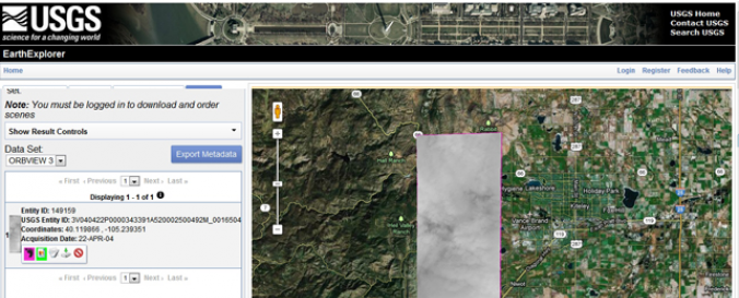
OrbView-3 (USGS)
| Data provided by: | United States Geological Survey (USGS), GeoEye Inc. |
| Data accessibility: | export data |
| Link to the data: | |
| Data type: | satellite data or aerial image |
| Hazard: | Forest Fire, Drought, Mass Movement, Earthquake |
| Disaster cycle phase: | Disaster Risk Management |
| Satellites and Sensors: | OrbView-3 (OHRIS) |
| Spatial coverage: | Global |
| Spatial resolution: | 1.00 |
| Temporal coverage: | Archive |
| Content dates: | 2003-2010 |
| Technical Specifications: | |
| Costs: | paid |
| Contact: | Contact Information (USGS) |
| Restrictions/ Citation of the dataset: |
Provider
![]()