![]()
United
Nations
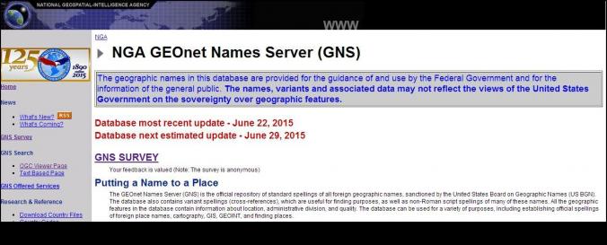
NGA GEOnet Names server (NGA)
| Data provided by: | USA National Geospatial-Intelligence Agency (NGA) |
| Data accessibility: | visualization of data (e.g. web GIS or real time monitoring) |
| Link to the data: | |
| Data type: | hazard specific data, land use, land cover data |
| Disaster cycle phase: | Disaster Risk Management, Response, Recovery |
| Spatial coverage: | Global |
| Temporal coverage: | Archive, Near-real time |
| Costs: | free |
| Contact: | Points of Contact |
Provider
![]()