![]()
United
Nations
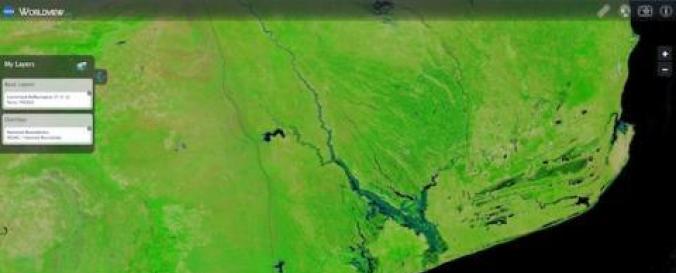
Near Real-Time data related to Floods (LANCE - NASA)
| Data provided by: | National Aeronautics and Space Administration (NASA) |
| Data accessibility: | export data, export map, visualization of data (e.g. web GIS or real time monitoring) |
| Link to the data: | |
| Data type: | hazard specific data |
| Hazard: | Flood, Severe Storm |
| Disaster cycle phase: | Disaster Risk Management, Response, Recovery |
| Space-based Information: | MODIS/Aqua Archive data , MODIS/Terra |
| Spatial coverage: | Global |
| Spatial resolution: | 100.00 |
| Temporal coverage: | Archive, Near-real time |
| Content dates: | MODIS/Aqua Start Date: 2002-07-04; MODIS/Terra Start Date: 2000-02-24 |
| Technical Specifications: |
|
| Costs: | free |
| Contact: | Contacts |
| Tutorials on the use of data: | Coprehensive examples about how to access and visualize NASA .hdf files |
| Restrictions/ Citation of the dataset: |
Provider
![]()