![]()
United
Nations
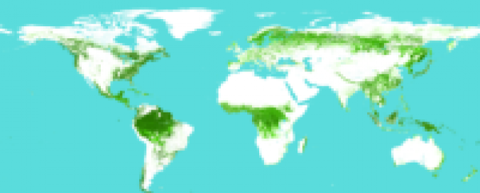
Global Vegetation (ISCGM)
| Data provided by: | International Steering Committee for Global Mapping (ISCGM) |
| Data accessibility: | export map |
| Link to the data: | |
| Requirements: | Registration and login here. |
| Data type: | land use, land cover data |
| Hazard: | Drought, Flood, Forest Fire |
| Disaster cycle phase: | Disaster Risk Management |
| Spatial coverage: | Global |
| Spatial resolution: | 1000 |
| Temporal coverage: | Archive |
| Content dates: | 2003 and 2008 |
| Technical Specifications: | |
| Costs: | free |
| Restrictions/ Citation of the dataset: | The data source should be cited and copyright indicated on the product. Here you see more on the "Agreement for use". |
Provider
![]()