![]()
United
Nations
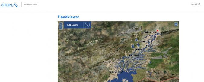
Flood Viewer Niger Delta Early Warning Tool (Wetlands International)
| Data provided by: | Wetlands International |
| Data accessibility: | visualization of data (e.g. web GIS or real time monitoring) |
| Link to the data: | |
| Data type: | hazard specific data |
| Hazard: | Flood |
| Disaster cycle phase: | Disaster Risk Management, Response, Recovery |
| Space-based Information: | Satellite derived rainfall and flooding estimates based on data from NOAA/FEWS. |
| Spatial coverage: | Niger |
| Temporal coverage: | Near-real time |
| Content dates: | Present |
| Technical Specifications: | |
| Costs: | free |
Provider
![]()