![]()
United
Nations
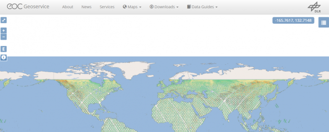
Digital Elevation Model - SRTM X-band (DLR)
| Data provided by: | German Aerospace Center (DLR) |
| Data accessibility: | export data, export map |
| Link to the data: | |
| Requirements: | login (eoweb account) |
| Data type: | elevation |
| Hazard: | Flood, Mass Movement |
| Disaster cycle phase: | Disaster Risk Management, Response, Recovery |
| Space-based Information: | Shuttle Radar Topography Mission (SRTM) |
| Spatial coverage: | Global |
| Spatial resolution: | 25.00 |
| Temporal coverage: | Archive |
| Content dates: | 2000 |
| Technical Specifications: | |
| Costs: | free |
| Tutorials on the use of data: | SRTM data download (DLR) |
Provider
![]()