![]()
United
Nations
Digital Earth Africa
| Data provided by: | Geoscience Australia |
| Data accessibility: | export data, export map, statistical data (e.g. graphs), visualization of data (e.g. web GIS or real time monitoring) |
| Link to the data: | |
| Data type: | baseline data, elevation, hazard specific data, land use, land cover data, satellite data or aerial image |
| Hazard: | Drought, Subsidence, Flood, Extreme Temperature |
| Disaster cycle phase: | Disaster Risk Management, Response, Recovery |
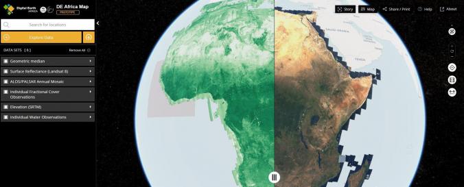
| Space-based Information: | The Digital Earth Africa (DE Africa) Map is a website for map-based access to spatial information. It’s is still being developed by Data61 CSIRO in collaboration with Geoscience Australia. DE Africa is leveraging international Earth Observation (EO) data and science to produce new information and services that benefit African countries. Through translating data into ready-to-use insights, more informed decisions about soil and coastal erosion, agriculture, deforestation, desertification, water quality and changes to human settlements can be made. The data is organized in data-cubes and will be fully available by 2020. |
| Spatial coverage: | Africa |
| Temporal coverage: | Archive, Near-real time |
| Content dates: | 1984 - present |
| Technical Specifications: | |
| Costs: | free |
| Contact: | Contact |
Provider
![]()