![]()
United
Nations
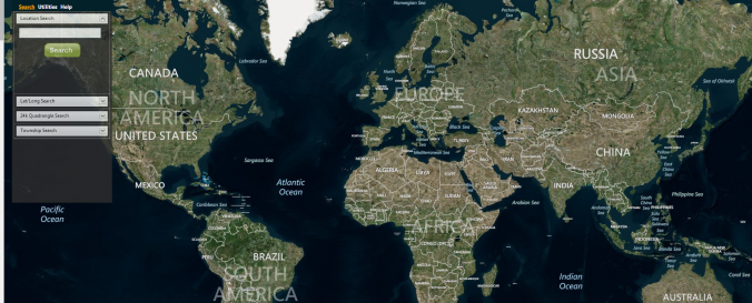
MapMart - Global Mapping Solutions
| Data provided by: | MapMart - Global Mapping Solutions |
| Data accessibility: | export data, export map |
| Link to the data: | |
| Data type: | baseline data, elevation, land use, land cover data, satellite data or aerial image |
| Hazard: | Forest Fire, Drought, Mass Movement, Earthquake, Tsunami, Flood, Severe Storm, Extreme Temperature, Pollution |
| Disaster cycle phase: | Disaster Risk Management, Response, Recovery |
| Satellites and Sensors: | IKONOS, Aqua, SPOT 1, SPOT 4 (HRVIR), SPOT 4, SPOT 5 (HRG), SPOT 5, SPOT 6, Landsat 1, Landsat 4, Landsat 7, Landsat 8, Landsat 8, UK-DMC-1 / BNSCSat 1, UK-DMC-2 |
| Spatial coverage: | Global |
| Spatial resolution: | 0.50 |
| Temporal coverage: | Archive, Near-real time |
| Technical Specifications: | |
| Costs: | paid |
| Contact: | Contact MapMart |
| Tutorials on the use of data: | Help for MapMart's ArcMap Toolbar, MapMart Mobile Usage Instructions |
| Restrictions/ Citation of the dataset: |
Provider
![]()