"United Nations International UN-SPIDER Workshop: Space-based Information and Solutions for Disaster Management and Emergency Response" For more information visit: http://www.unoosa.org/oosa/en/unspider/index.html
more![]()
United
Nations
Germany
country taxonomy block

The 36th International Symposium on Remote Sensing of Environment (ISRSE), will take place on May 11-15, 2015 in Berlin, Germany. This 36th Symposium will represent a major event in the long series of internationally recognised ISRSE meetings.
The overall theme of the symposium is the use of Earth observation systems and related remote sensing techniques for understanding and managing the Earth environment and resources.
ISRSE-36 takes place at a significant moment: The process to define the UN global development agenda post 2015 with its Sustainability Development Goals will be finalised in 2015. The Future Earth initiative has been created as a global platform to deliver solution-orientated research for sustainability. Among its key challenges are innovative approaches to integrate knowledge systems (data, observation, modelling, etc.), including remote sensing of the environment.
Satellite observations are a key element in an integrated and sustained climate observing system and have been critically important for monitoring and understanding the Earth’s climate system during the past several decades. The expected completion of the IPCC Fifth Assessment (AR5) in 2013-2014 makes it timely to discuss these achievements, to assess future opportunities and challenges with satellite derived climate information, and to provide guidance on future priorities.
The symposium will be an important step towards defining requirements, and the further development of an efficient and sustained international space-based Earth observing system. This symposium is intended to bring together the international experts in climate observations, research, analysis and modelling to present and discuss results from their studies, with a particular emphasis on the role of space-based Earth observations in improving our knowledge of the current climate at global and regional…
moreThe Munich Satellite Navigation Summit 2015 will be held in the famous “Residenz München”, Germany March 24 - 26, 2015. It has been established as the European and International conference with global impact featuring invited high-ranking worldwide speakers from industry, science and governments dealing with the directions of satellite navigation now and in the future.
The Summit starts on March 24, 2015 with the Exhibition Opening and Champagne Reception at 16.30 hrs. The technical programme of the conference starts with the …
moreThis international interdisciplinary CODATA workshop on Risk Information Management, Risk Models, and Applications will enable sharing of best practices as well as giving space for discussing methodological problems in risk modeling from the information systems point of view for all phases of the disaster cycle.
The following areas will be of central interest for the workshop:
risk information management, risk information models; risk databases, risk information interoperability,standards development; risk information processes modelling and applications, services and service composition; natural,technical, chemical risks from local to international level; risk information system structure, components; risk-related databases; risk and multi-risk cartographic issues; risk and risk-model change in time and space; risk modeling issues for infrastructure (e.g. factories, railways, highways, pipelines, maritime traffic etc.); disaster management and emergency preparedness,…
more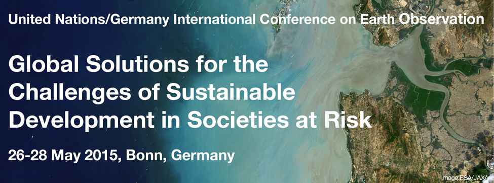
2015 will be a decisive year for the international community paving the way for sustainable development worldwide. Three important processes led by the United Nations are underway leading to three agreements expected for 2015: the Post 2015 Framework on Disaster Risk Reduction (March 2015), the Sustainable Development Goals (September 2015), and the new Climate Change Agreement (December 2015). Geoinformation and especially Earth Observation provide indispensable data to support informed decision making at local, national, regional and global level to reduce disaster risks, improve adaptation to climate change, prepare better for unavoidable losses and damages, and deliver on the promise of sustainable development.
The United Nations/Germany International Conference on Earth Observation – Global solutions for the challenges of…
moreJoint workshop of the Global Climate Observing System (GCOS), the Intergovernmental Panel on Climate Change (IPCC) and the UNFCCC Secretariat, on 'Enhancing Observations to Support Preparedness and Adaptation in a Changing Climate - Learning from the IPCC Fifth Assessment Report.
Note: The call for Submissions will close on 21th of March! You can submit a presentation, a scientific paper, a poster, a map or a workshop (see below and conference website).
FOSS4G represents the global gathering of the Open Source Geospatial community with a deep focus on free and open source geospatial solutions under the auspices of the Open Source Geospatial Foundation - OSGeo. FOSS4G brings together developers, users, policy- and decision-makers, business representatives from a broad spectrum of organizations and professional geo-related fields.
This year’s FOSS4G theme, “Building bridges”, will bring together all geospatial users, developers and supporters, from professionals to absolute beginners, from business representatives to university teachers, from non-profit organizations to public institutions representatives. Furthermore, this year, FOSS4G will build bridges…
moreParticipating Organizations: Bonn International Centre for Conversion (BICC), DigitalGlobe (DG), DG/Tomnod (via webconference), DIFD (via webconference) (UK), DLR (Germany), EC‐GROW Copernicus, EC‐JRC (via webconference), Humanitarian OpenStreetMap Team (HOT/OSM), ImageCat, ITHACA (Italy), NDRCC (China), Pacific Disaster Center (PDC) (US), University of Bonn, UNOOSA/ UN-SPIDER, USGS (via webconference) (US)
Meeting Summary
The 2015 spring meeting was the second IWG-SEM meeting, which was organized as a combination of a physical and web-based conference. 23 participants joined the meeting in person or via web-video-conference.
The agenda included a review and lessons learned of the Nepal earthquake, collaborative mapping, the issuing of the IWG-SEM Emergency Mapping Guidelines 2.0 and the earthquake chapter, and the IWG-SEM GeoRSS.
The detailed meeting outcomes as well as the slides of the presentations are available…
moreNote: Deadline for abstract submission has been extended. New deadline is 15th February 2016.
You can submit your abstract here: http://www.earsel.org/symposia/2016-symposium-Bonn/papers.php. If ou would like to be considered for the session organized by UN-SPIDER, make sure to check "Disaster management" as the applicaion field in your submission. The session will focus on Earth observation applications for the Sendai Framework for Disaster Risk Reduction 2015-2030.
EARSeL is a scientific network of European remote sensing laboratories, coming from both academia and the commercial/industrial sector, which covers all fields of geoinformation and earth observation through remote sensing. All scientists, professionals and researchers involved or interested in the field of the symposium are strongly encouraged to present papers according to the…
moreBackground:
Over 80% of economic disaster losses are attributed to weather-related events. Given that climate change is likely affecting the frequency and intensity of such events there is a need to improve the knowledge, understanding and data on climate impacts for establishing an appropriate disaster risk management as part of climate change adaptation.
This international workshop in the aftermath of the COP21 negotiations in Paris brings together scientists from various disciplines as well as practitioners from insurances, infrastructure and political institutions.
The overall aim is to discuss:
- Existing datasets on observed impacts and…
more
An EASME and DG GROW initiative, the Copernicus ‘Eyes on Earth’ Roadshow will foster the development of applications with space data and other geo-information systems; develop the technical and scientific skills needed to work in the space data sector; and encourage citizens’ interest in earth observation activities.
The events, which include an expo area with interactive tools, business presentations, interactive masterclasses dedicated to real business cases (e.g. how to deal with heat islands in cities), and network/matchmaking sessions, will provide a multitude of benefits to participants of all ages and all walks of life.
Participation in all Roadshow events is free of charge.

Global Partnership on Space Technology Applications for Disaster Risk Reduction (GP STAR) is a global partnership that was launched at the third World Conference on Disaster Risk Reduction in Sendai in 2015. It is committed to fostering better and more integrated use of space-based technologies in disaster risk reduction efforts around the world. The partnership conducted its first meeting in Bonn, Germany from 25 to 28 May 2015.
The International Expert Meeting in December 2016 built upon the efforts carried out to contribute to the implementation of the Sendai framework. It provided decision-makers from the disaster management community with guidance on the use of space technology applications in combination with local, in-situ data for better disaster-risk visualisation. The meeting also promoted the use of Earth Observation to track and identify ways to manage climate-related extreme events, e.g. floods, storms or droughts. Lastly,…
more
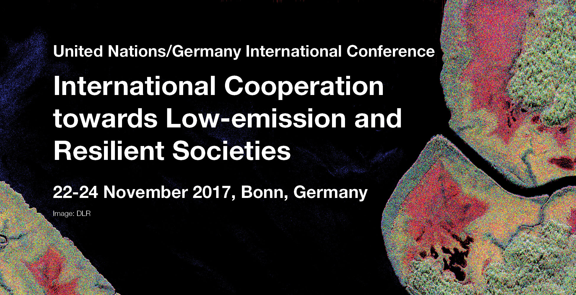
The United Nations/Germany International Conference on International Cooperation Towards Low-Emission and Resilient Societies took place from 22 to 24 November 2017 at the UN Campus in Bonn, Germany.
The Bonn Declaration, adopted at the event, can be accessed here.
Resources
more
The FOSSGIS Conference is a major conference for Free and Open Source Software Geo-Software and OpenStreetMap.
The FOSSGIS Conference 2018 is organized by the non-profit FOSSGIS e. V. and the OpenStreetMap Community with support from the University of Bonn.
The aim of the annual conference is to facilitate the development of free and open source software for geoinformation systems. This is where users and developers meet for a joint exchange of information on application and working possibilities as well as the latest developments in this area. It deals with web mapping, spatial data infrastructures, spatial data management, GeoProcessing and desktop GIS and free spatial data, such as OpenStreetMap.

The event is planned as a marketplace that will enable knowledge transfer between technology experts, service providers and manufacturers as well as users from selected application fields. The goal is to stimulate the development and marketing of new “Copernicus”-related products, services and solutions. The event will build on findings and experience from the German technology network “CopServ” and aims to transfer valuable technological know-how to European level in the framework of the EEN.
Application fields at the focus of the event will be renewable energies/energy economy, maritime technologies, mining/post-mining, agriculture/forestry and urban monitoring/smart cities. The event addresses specialists and executives as well as development engineers from the application fields and defined technology branches along the entire value chain.

Introduction
The international science community is invited to participate in the EarthCARE Science and Validation Workshop, which is jointly organized by the German Aerospace Center (DLR), the German EarthCARE Project Office at the Max Planck Institute for Meteorology (MPI-M) and the European Space Agency (ESA), in cooperation with our partners, the Japan Aerospace Exploration Agency (JAXA) and the National Institute of Information and Communication Technology (NICT).
The EarthCARE Mission
The Earth Cloud, Aerosol and Radiation Explorer (EarthCARE) will provide three-dimensional profiles of clouds and aerosols collocated with observations of reflected solar and emitted thermal radiation in order to quantify the impact of clouds and aerosols on radiation. The mission is being implemented, in cooperation with JAXA and NICT, as the sixth ESA Earth Explorer Mission, with a target…
more
INTERGEO is a meeting point for experts and decision-makers from the worlds of politics, science and industry on an international stage in Germany’s vibrant capital.
Use the trade fair and conference to experience and discuss GEO IT’s constantly evolving applications and future trends. Entirely in keeping with its long-standing motto “Knowledge and action for planet Earth”, the event in Berlin will cover ground-breaking developments and applications with drones plus hot topics such as smart cities and digital planning/building projects (building information modelling), including virtual and augmented reality. With COPERNICUS as one of its headline topics, this year’s conference acknowledges the growing importance of remote surveying from space. Very aptly given that Berlin is hosting the event this year, open data and open government are further key focal points.

The Conference on Big Data from Space will be held on 19-21 February 2019. Big Data from Space refers to the massive spatio-temporal Earth and space observation data collected by a variety of sensors - ranging from ground based to space-borne - and the synergetic use of data coming from other sources and communities. These developments are empowering new approaches and applications in various and diverse domains influencing life on Earth and societal aspects, from sensing cities, monitoring human settlements and urban areas to climate change and security.
The main objectives of the BiDS’19 Conference are:
- Focus on new paradigms of data intelligence addressing the entire value chain: data processing to extract information, the information analysis to gather knowledge, and knowledge transformation in value;
- Maximise the uptake and impact of multi-source space data;
- Promote the use of platforms and analytical methods to maximise the value…
The United Nations Office for Outer Space Affairs (UNOOSA), through its Platform for Space-based Information for Disaster Management and Emergency Response (UN-SPIDER), conducted an International Expert Meeting on 12 November at the UN Campus in Bonn, Germany. “Towards Big (Space) Data in Support of Disaster Risk Reduction and Emergency Response in Africa” aimed at contributing to an increased use of big data approaches and satellite technologies in African countries to respond to challenges posed by natural hazards. It brought together around 45 experts from space agencies, civil protection authorities, development cooperation actors, international organizations, technical relief and humanitarian aid providers, national ministries and the private sector.
The meeting was organized together with the German Aerospace Center (DLR) and in cooperation with the German Federal Ministry for Economic Affairs and Energy (BMWi). The Center for Remote Sensing of Land Surfaces (…
moreRegional Support Offices mentioned:

Under the motto "Exploring SAR data" , the Friedrich Schiller University Jena, in cooperation with the German Aerospace Center (DLR) and numerous partners from the German research landscape, is presenting the VII SAR-EDU Summer School for Applied Radar Remote Sensing.
The offered program is intended to provide an insight into the fundamentals and applications of radar remote sensing in the Earth Sciences and is aimed equally at academic, commercial and regulatory users.
The topics of the Summer School include Basics, Signal Processing, Interferometry, Polarimetry, Polarimetry Exercise, Time Series, Oceanography, Hydrosphere, Anthroposphere and Biosphere.
more
The Applied Geoinformatics for Society and Environment (AGSE) Conference takes place on a yearly basis and is held in different places all over the world. The overall scope of this conferences is to offer an interdisciplinary, international forum for sharing knowledge about the science and application of geoinformatics with focus on developing countries.
Besides invited keynotes the conference invites presentations on a variety of topics. There will also be professional training and workshops about current topics in the fields of geoinformatics and photogrammetry.
AGSE 2019 will take place from 12 to 15 September 2019 at the Stuttgart University of Applied Sciences, Stuttgart, Germany. The title of the event is: “Digital Landscapes: Chances for Development”.
The conference is organized by the Stuttgart University of Applied Sciences, Stuttgart, Germany, and co-organized by the Laboratory for interoperable, and open-source Geospatial Software, Data and Standards (…
more![]()