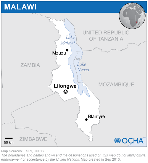
In Malawi, in order to raise awareness regarding the use of UN-SPIDER recommended practices, more than 490 maps of the standard vegetation index were created in July, covering the period from April 2000 to June 2021. Those maps were created by ZFL. In addition, a map of areas flooded in March 2019 was developed. The maps were presented to the Department of Disaster Management Affairs of Malawi and to the Office of the United Nations Resident Coordinator in Malawi.