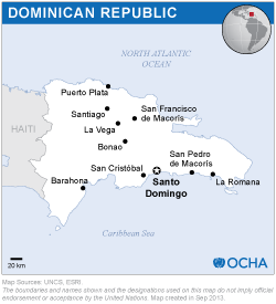
At the request of the National Emergency Commission, and with the support of the national office of the United Nations Development Programme, UN-SPIDER organized two webinars to train new members of the Geospatial Information Team for Disaster Management of the Dominican Republic on space technologies for disaster management. The Team was established by the Commission in 2012 upon the recommendation of UN-SPIDER and includes professionals and specialists from more than 15 organizations in the Dominican Republic with skills related to geographic information systems and remote sensing. The aim of the Team is to contribute to disaster risk reduction, preparedness and response efforts through the generation of relevant space-based and geospatial information.
More than 20 members of the Geospatial Information Team participated in the two-day virtual training course, which included an introduction to examples of the use of space technologies to map the geographic extent of floods and mudslides and the burn severity of forest fires, as well as procedures for preparing flood and storm surge hazard maps.

