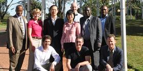
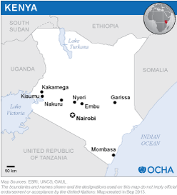
The mission team was comprised of nine international experts:
Mr. Coen Bussink (UN-SPIDER, Vienna), Ms. Longfei Liu (UN-SPIDER, Beijing), Ms. Leslie Armstrong (U.S. Geological Survey), Mr.Ned Dwyer (Coastal and Marine Research Centre, University College Cork, Ireland), Mr. Gabriel Yesuf (Regional Centre for Training in Aerospace Surveys, Nigeria), Mr. Andries Jordaan (University of the Free State, South Africa), Mr. Franck Ranera (Airbus Defence and Space, France), Mr. Michael Hagenlocher (University of Salzburg’s Interfaculty Department of Geoinformatics - Z_GIS, Austria), Mr. Wu Wei (National Disaster reduction Centre of China, China).
The mission team met with 19 national and international institutions based in Kenya. These meetings provided insight in the role of each organisation in disaster management and in the use of space-based and geospatial information in the country. In addition, the team organized a one-day workshop on the premises of UN-SPIDER’s Regional Support Office RCMRD, which was attended by over 50 participants from the academia, ministries, emergency services and international organisations.
The workshop included presentations by NDOC, NSS, RCMRD and by all experts of the TAM team. Group discussions were held inviting the participants to think about the current and potential use of space technologies in disaster management. The workshop was effective in generating awareness about possible applications of space-based technology and the potential for cooperation between different agencies.
On the last day of the mission, the TAM team provided a briefing on the findings of the mission to the Ministry of Interior and Coordination of National Government of Kenya.
The observations and recommendations will be compiled in the form of the report that will be presented to the Government and could be used for the drafting of the National Policy for Disaster Risk Management.
- There is a good basis for a national spatial data infrastructure in Kenya;
- There are a number of strong early warning systems using geospatial data, especially data about droughts and floods in specific areas;
- There is excellent capacity for using up-to-date Earth observation and geographic data at several institutions;
- There is a need for capacity-building;
- Not all agencies use satellite-based communications and navigation technology.
- Disaster management and contingency plans can benefit from the incorporation of space-based and geospatial information;
- Cooperation and sharing of data and information between institutions could be strengthened;
- A national spatial data infrastructure is an important step towards increasing the generation and use of spatial data;
- Focal points and the role of institutions in the use of international mechanisms (International Charter on Space and Major Disasters and the Copernicus Emergency Management Service) for acquiring Earth observation data and products should be clarified in order to access these resources;
- Adequate management of data and metadata within the relevant institutions should be ensured;
- Institutions that need to strengthen their capacities could take advantage of the knowledge available at local universities and public institutions;
- Training courses should be conducted to strengthen the skills of staff in geographic information system units, including courses on remote sensing applications for disaster-risk assessment and emergency response.


