  • English
  • Español
  • Français

United
Nations


Office for Outer Space Affairs
UN-SPIDER Knowledge Portal

  • Home
  • About Us
    • What is UN-SPIDER?
    • About UNOOSA
    • Publications
    • Jobs
    • Meet the Team
    • Contact
  • Space Application
    • Satellite Technology
    • Emergency Mechanisms
    • Recovery Mechanisms
    • International Asteroid Warning Network
    • Space Mission Planning Advisory Group
    • International Space Weather Initiative
    • Space Technologies in the UN
    • User Stories
  • Links & Resources
    • Data Applications
      • Disaster Recovery
    • Data Sources
    • GIS and Remote Sensing Software
    • Online Learning Resources
    • Institutions
  • Risks & Disasters
    • Disaster Risk Management
    • Early Warning Systems
    • Emergency and Disaster Management
    • Natural Hazards
    • Sendai Framework
    • The UN and Disaster Risk Management
    • The UN and Early Warning
    • The UN and Disaster Management
  • Advisory Support
    • Advisory Missions
    • Emergency Support
    • Virtual Advisory Support
    • Recommended Practices
    • Training Activities
    • Practical Uses
  • Network
    • Regional Support Offices
    • GP-STAR
    • MHEWS
    • IWG-SEM
  • Projects
    • SPEAR
    • SEWS-D
    • EvIDENz
    • Flood GUIDE
  • News & Events
    • News
    • Events Calendar
    • UN-SPIDER Events Archive

Breadcrumb

  • Home
  • Advisory Support
  • Advisory Missions
  • Guatemala - Expert Mission (2011)
  • Guatemala - Expert Mission (2011)

Guatemala - Expert Mission (2011)

In recent years Guatemala has been impacted by disasters of various kinds including volcanic eruptions, floods and droughts. In November 2010, UN-SPIDER had conducted a Technical Advisory Mission (TAM) to Guatemala. As a follow-up, this expert mission was carried out to support government institutions in the institutionalization of a technical group focusing on remote sensing applications for disaster risk reduction and emergency response.

Mon, 31 Oct - Sun, 6 Nov 2011
SEGEPLAN
Guatemala

Juan Carlos Villagran de Leon, UN-SPIDER

The mission aimed at raising awareness of the Directors of various institutions on the benefits of using space-based information on disaster risk and disaster response management. It also addressed the recommendations made during a Technical Advisory Mission (TAM) one year earlier, which included the establishment of an inter-agency group of professionals working in various state institutions on the use of GIS and remote sensing.

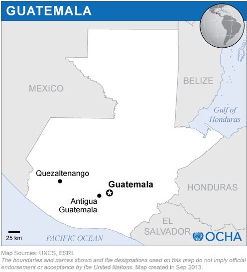
The mission included visits to SEGEPLAN, to the National Geographic Institute (IGN), to the National Institute of Statistics (INE), the National Coordinating Agency for Disaster Reduction (CONRED) and to the Ministry of Environment and Natural Resources (MARN).

The mission was able to move forward the establishment of an inter-institutional group of professionals from a variety of Government agencies and universities, which will focus its attention on the use of satellite imagery and remote-sensing applications. The Directors of SEGEPLAN and IGN will institutionalize the technical group through a Memorandum of Understanding. The mission also allowed UN-SPIDER to take note of the comments made by the Minister of Environment and Natural Resources, who highlighted the importance of remote sensing applications and raised the question concerning how to improve access to space-based information to track vulnerability and to identify ways regarding adaptation to climate change. In addition, the Minister requested UN-SPIDER to explore how the Ministry could interact more effectively with UNOOSA on the topics of environmental management and climate change.

Related Links

Guatemala Expert Mission 2010
Guatemala Technical Advisory Mission 2010
Guatemala risk profile [ext.]
Guatemala disaster profile [ext.]
Guatemala disaster statistics [ext.]

Institutions visited

Guatemalan Coordinating Agency for Disaster Reduction (CONRED)

Footer menu

  • Contact
  • Terms of Use

User account menu

  • Log in