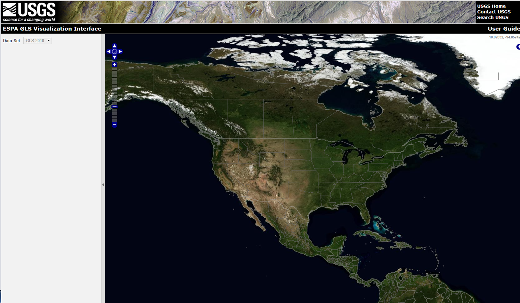
USGS released a new EROS Science Processing Architecture (ESPA) GLS Visualization Interface. The new interface allows users to immediately download Global Land Survey (GLS) 2010 and GLS 2005 Surface Reflectance Products. GLS 2000 surface reflectance products will be available soon as well.
In addition, Landsat Thematic Mapper (TM) and Enhanced Thematic Mapper Plus (ETM+) scenes from 1984 to April 14, 2012 can also be processed to surface reflectance for scientific evaluation through the ESPA Ordering Interface. Landsat Provisional Surface Reflectance Products (LPSRP) are created using the Landsat Ecosystem Disturbance Adaptive Processing System (LEDAPS) software developed at NASA Goddard Space Flight Center (Version: November 24, 2011).
Moreover, The USGS EROS Center recently released a revised and updated version of their Earthshots website. Each Earthshots page features a different location from around the world and explains the changes that the satellite images reveal. For example, the Mount St. Helens page shows what the mountain looked like before and after the 1980 eruption. Furthermore, it shows recent images that demonstrate how the forest is recovering. The images at the left are three of the Landsat images from that page.