![]()
United
Nations
-
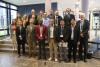
 Help Shape the Future of the UN-SPIDER Knowledge Portal
 -
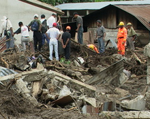
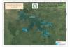
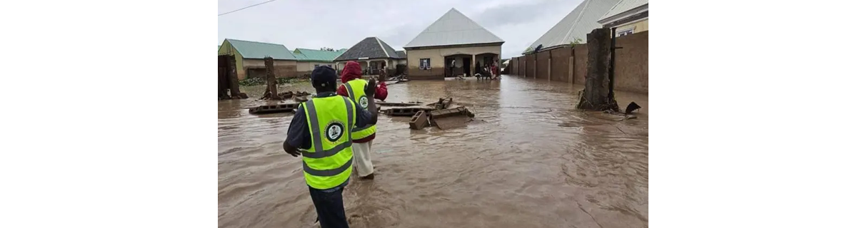 Satellite-based monitoring of Kiri and Dadin Kowa Dams following the Nigeria floods
 -
 Learn more about Satellite Monitoring and the Xe Pian–Xe Namnoy Dam Collapse in Laos
-
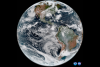
 New Global Compendium on GeoAI Best Practices from the UN-SPIDER Network
 -
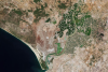
 Digital Twins and Earth Observation: UN-SPIDER and ZFL Present Flood Mapping Innovations at LPS 2025
How can space technology be applied in disaster and risk management?
Where can I access satellite data, products and other resources?
Who are the users of space technology in disaster and risk management?
Which services can UN-SPIDER offer to Member States?
News

Upcoming Events
Our Regional Support Offices


![]()