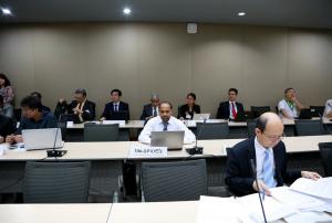
The Asian Institute of Technology (AIT), Thailand, signed an agreement with the United Nations Office for Outer Space Affairs to become a Regional Support Office of the UN-SPIDER programme.
The partnership proposal with the Asian Institute of Technology (AIT), Thailand, is a result of UN-SPIDER’s various engagements with the Geoinformatics Center (GIC), a Centre within AIT. For example, SPIDER’s participation in the training programmes organized by AIT/GIC for the countries in Asia and the Pacific, AIT’s contribution to the series of Asia Pacific Science and Technology Conferences on Disaster Risk Reduction, their role as value-added provider for the Sentinel Asia and International Charter, their expertise in developing EO based tools for disaster management for the region and their willingness to partner with us in our capacity-building efforts.
AIT is an international institute of…
more


.")
")
")


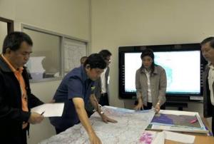
 meeting in Bangkok")


")