
UN-SPIDER was established in 2006 after recognizing that disaster risk management and emergency response communities, particularly in developing countries, are not yet fully utilizing space-based technologies to support disaster risk reduction, preparedness, response and recovery efforts.
Several factors contribute to this gap. Decision-makers and practitioners involved in disaster risk management and emergency response efforts may not yet fully recognize the potential of space-based information, including the limited integration of space-based information into policies, strategies and operational frameworks. Additionally, practitioners might not be aware of where and how they can access satellite-derived data and geospatial information. Furthermore, even if disaster managers are aware of the advantages of satellite technologies and existing mechanisms to access such data, they may lack the technical capacities required to process and apply relevant geospatial information for their operational context. Finally, they might not have the necessary infrastructure, connectivity, hardware, software or cloud-based tools to process the data.
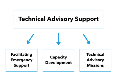
Recognizing these challenges, UN-SPIDER aims to bridge these gaps with its Technical Advisory Support. The goal is to ensure that all countries recognize the value of space-based information for preventing and mitigating disasters, and to use such information effectively in the context of natural hazards, emergencies and disasters.
UN-SPIDER provides Technical Advisory Support in various ways:
Advisory Missions
To make sure that all interested stakeholders can benefit from space-based information in the most effective way possible, UN-SPIDER provides Technical Advisory Support to Member States through Advisory Missions. During these missions, UN-SPIDER meets with key stakeholders in national disaster risk management communities to discuss topics in depth, formulate recommendations and support the development of guidelines to strengthen the use of space-based information for disaster risk management and emergency response. Such missions take place at the invitation of Member States. The three types of Advisory Missions are: Technical Advisory Missions, Institutional Strengthening Missions and Expert Missions.
Emergency Support
Our emergency support targets immediate emergencies and disasters. It supports timely and efficient access to space-based information by ensuring affected countries have access to geospatial information products through international mechanisms such as the International Charter “Space and Major Disasters”, Sentinel Asia and the Copernicus Emergency Management Service (EMS). Upon request, we can activate our network of Regional Support Offices and other partners to provide access to satellite data, geospatial services and derived information products such as damage assessments and rapid mapping products to countries affected by a disaster.
Virtual Advisory Support
The UN-SPIDER programme provides remote technical advisory support to countries upon their request. This typically consists of webinars, online training and the provision of geospatial information products, such as maps, which are created using UN-SPIDER Recommended Practices.
Recommended Practices
Recognizing the need to facilitate the processing of satellite imagery to generate specific types of products or maps, UN-SPIDER and its network of Regional Support Offices have developed step-by-step procedures or Recommended Practices that describe the steps required to download, pre-process, and process satellite imagery to generate maps that can be used for hazard assessment, early warning, preparedness, as well as for response and recovery efforts. These Recommended Practices have been developed using open-source software, programming languages and freely accessible satellite imagery.
Training Activities
Training activities are part of our capacity development efforts and aim at strengthening technical and institutional capacities of individuals and various stakeholders in leveraging space-based information to support disaster risk reduction, preparedness, response and recovery efforts to the challenges posed by natural hazards, emergencies and disasters. They address country needs identified through Technical Advisory Missions and are usually part of an Institutional Strengthening Mission.
Practical Uses
In addition to the Recommended Practices, UN-SPIDER and its network of Regional Support Offices have prepared examples of practical uses of the maps generated using the Recommended Practices, as well as products and services developed by the space and geospatial communities to contribute to disaster risk reduction, preparedness, response and recovery efforts.