  • English
  • Español
  • Français

United
Nations


Office for Outer Space Affairs
UN-SPIDER Knowledge Portal

  • Home
  • About Us
    • What is UN-SPIDER?
    • About UNOOSA
    • Publications
    • Jobs
    • Meet the Team
    • Contact
  • Space Application
    • Satellite Technology
    • Emergency Mechanisms
    • Recovery Mechanisms
    • International Asteroid Warning Network
    • Space Mission Planning Advisory Group
    • International Space Weather Initiative
    • Space Technologies in the UN
    • User Stories
  • Links & Resources
    • Data Applications
      • Disaster Recovery
    • Data Sources
    • GIS and Remote Sensing Software
    • Online Learning Resources
    • Institutions
  • Risks & Disasters
    • Disaster Risk Management
    • Early Warning Systems
    • Emergency and Disaster Management
    • Natural Hazards
    • Sendai Framework
    • The UN and Disaster Risk Management
    • The UN and Early Warning
    • The UN and Disaster Management
  • Advisory Support
    • Advisory Missions
    • Emergency Support
    • Virtual Advisory Support
    • Recommended Practices
    • Training Activities
    • Practical Uses
  • Network
    • Regional Support Offices
    • GP-STAR
    • MHEWS
    • IWG-SEM
  • Projects
    • SPEAR
    • SEWS-D
    • EvIDENz
    • Flood GUIDE
  • News & Events
    • News
    • Events Calendar
    • UN-SPIDER Events Archive

Breadcrumb

  • Home
  • Advisory Support
  • Recommended Practices
  • Recommended Practice: Disaster Preparedness Using Free Software Extensions
  • In Detail: Disaster Preparedness Using Free Software Extensions
  • In Detail: Disaster Preparedness Using Free Software Extensions

In Detail: Disaster Preparedness Using Free Software Extensions

Recommended Practice: Disaster Preparedness Using Free Extension Software
Step-by-Step: Disaster Preparedness Using Free Extension Software

Disaster management is crucial for human security and is typically divided into different stages such as disaster response or preparedness. Preparedness contains different measures that can be undertaken to reduce the effects of a disaster, which then results in less loss of human life or goods (IFRC). A lack of preparedness is addressed as one of the major factors that have an impact on the human security, especially in developing countries. Similarly, preventive measures are seen as a key for general enhancement (c.f. Cees J. Van Westen). Focusing often on disaster response, the use of Earth observation data in risk assessments, contingency planning and disaster preparedness is often not highlighted. Since there is a big potential for the usage of EO data for disaster preparedness (c.f. Bala, Tom & Shinde) and the use of volunteered geographic information from, for example, OpenStreetMap (Pasi et. al), further developments have been created.

Taking now action for better tools and methods during this phase of the disaster management cycle is broadly encouraged as the effectiveness of preventive actions has been proven. Using QGIS and open extensions for contingency planning creates freely accessible outcomes for both national and local communities, supporting their disaster preparedness. The InaSAFE plug-in for QGIS, which has been developed by the World Bank and the Australian and Indonesian Governments, provides assistance to stakeholders in conducting disaster risk reduction processes by creating impact mitigation scenario maps (Akrimullah et.al.). Combining different datasets, a reliable scenario is created, which can then be used as a basis for further measures such as contingency planning for shelter and food, as it provided estimates of the amount of displaced people in certain administrative areas and of the potential need for relief goods.


Detail View of Results

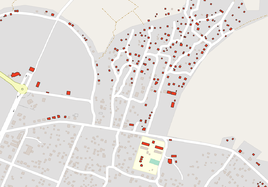
Figure 1: Identification of infrastructure at risk using the InaSAFE plug-in for QGIS.

This Recommended Practice requires QGIS, the InaSAFE plug-in and several WMS. If you feel unsure about GIS basics, please have a look at the tutorials provided online.

This Recommended Practice is created for beginners who would like to create a reliable outcome, but will also be useful for advanced users who would like to explore the possibilities of QGIS for disaster management.


This practice was developed to enable a spatial analysis of a region of interest for disaster prevention and preparedness. The plug-in has been developed to analyse different types of disasters and therefore can be used widely during the preparation phase. However, to obtain more accurate results, certain thresholds need to be adapted to local circumstances and taking into consideration local knowledge. 

Strengths:

  • The recommended workflow can be easily adapted to different disaster scenarios.
  • The recommended workflow can be easily adapted to different study areas.
  • The recommended practice was developed for QGIS, which is a free and open software product available on all operating systems.
  • The plug-in quickly generates appealing and reliable results, which help in disaster preparation.

Limitations:

  • The quality of the results depends on the quality of the input data.
  • Further demographic data would be helpful to enhance the output results.
  • The contingency planning was created for Indonesia. Therefore, the type of food and the amount can vary between different countries and local diets.


Akrimulla, A,; Sima, B. & Akhadi, Y. (2017): OpenStreetMap Infrastructure Mapping and its Usage on Flood Impact Assessment Using InaSAFE in Surabaya.  http://dx.doi.org/10.12962/j23546026.y2018i1.3500 

Bala, Papiya, Santhi Tom, and Ruchira Shinde. "GIS and Remote Sensing In Disaster Management." Imperial Journal of Interdisciplinary Research (IJIR) 3.5 (2017).

IFRC: Disaster Preparedness. https://media.ifrc.org/ifrc/what-we-do/disaster-and-crisis-management/disaster-preparedness/.

Pasi, R.; Consonni, C.; Napolitano, M. (2015): Open Community Data & Offical Public Data in flood risk management:a comparison based on inaSAFE, FOSS4G Europe Como 2015. http://hdl.handle.net/11582/305635

Van Westen, Cees J. "Remote sensing and GIS for natural hazards assessment and disaster risk management." Treatise on geomorphology 3 (2013): 259-298.


Recommended Practices Step

Related Practices

view all

Related data

view all

Related Software

Disclaimer:

Neither UN-SPIDER nor the Regional Support Offices (RSOs) or their partners take any responsibility for the correctness of outputs from this recommended practice or decisions derived as a consequence.


Footer menu

  • Contact
  • Terms of Use

User account menu

  • Log in