Skip to main content
English
Español
Français
United
Nations
Office for Outer Space Affairs
UN-SPIDER Knowledge Portal
Search
Home
About Us
What is UN-SPIDER?
About UNOOSA
Publications
Jobs
Meet the Team
Contact
Space Application
Satellite Technology
Emergency Mechanisms
Recovery Mechanisms
International Asteroid Warning Network
Space Mission Planning Advisory Group
International Space Weather Initiative
Space Technologies in the UN
User Stories
Links & Resources
Data Applications
Disaster Recovery
Data Sources
GIS and Remote Sensing Software
Online Learning Resources
Institutions
Risks & Disasters
Disaster Risk Management
Early Warning Systems
Emergency and Disaster Management
Natural Hazards
Sendai Framework
The UN and Disaster Risk Management
The UN and Early Warning
The UN and Disaster Management
Advisory Support
Advisory Missions
Emergency Support
Virtual Advisory Support
Recommended Practices
Training Activities
Practical Uses
Network
Regional Support Offices
GP-STAR
MHEWS
IWG-SEM
Projects
SPEAR
SEWS-D
EvIDENz
Flood GUIDE
CommonSpace Initiative
Tonga Pilot Project
News & Events
News
Events Calendar
UN-SPIDER Events Archive
Breadcrumb
Home
Links and Resources
GIS and Remote Sensing Software
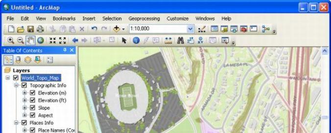
ArcGIS Desktop (esri)
ArcGIS Desktop (esri)
ArcGIS Desktop (esri)
Software type:
Desktop GIS
Website:
http://www.esri.com/software/arcgis/arcgis-for-desktop
Accessibility:
Install only
Computer System:
Windows
Scope:
Image processing, Modelling, Visualisation
Vector/Raster:
Vector, Raster
Optical data or radar data format:
Optical, Radar
Graphical user interface:
Yes
Costs:
Free to try $ 500.00
Tutorials:
ESRI forum on disaster resilience
ESRI Trainings
Manual Básico de ArcGIS 10 ( Ronald Puerta, et al.) (Spanish)
Tutorial (nivel básico) para la elaboración de mapas con ArcGIS (Cartoteca Rafael Mas) (Spanish)
Sistemas de referencia y coordenadas ArcGIS 10 (Robin Oyala) (Spanish)
Canal de Youtube para tutoriales de ArcGIS (Marta Benito) (Spanish)
Curso práctico básico de ArcGIS 10 (video) (Franz Leonardo) (Spanish)
Sincronizar ArcGIS con Google Earth (video) (Franz Leonardo) (Spanish)
Composición de bandas satelitales en ArcGIS (video) (Franz Leonardo) (Spanish)
Clasificación supervisada y no supervisada en ArcGIS (video) (Franz Leonardo) (Spanish)
Calcular volumen de tierra deslizado en un derrumbe con ArcGIS (video) (Franz Leonardo) (Spanish)
Sort by
Title
Order
Asc
Desc
Recommended Practice: Flood Hazard Mapping