![]()
United
Nations
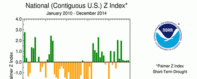
United States Drought Reports (NOAA)
| Data provided by: | National Oceanic and Atmospheric Administration (NOAA) |
| Data accessibility: | export map, statistical data (e.g. graphs) |
| Link to the data: | |
| Data type: | hazard specific data |
| Hazard: | Drought |
| Disaster cycle phase: | Disaster Risk Management, Response, Recovery |
| Satellites and Sensors: | GOES- 8-15 (IMAGER), Suomi NPP |
| Spatial coverage: | Northern America |
| Spatial resolution: | 1000 |
| Temporal coverage: | Archive, Near-real time |
| Content dates: | 1999-today |
| Technical Specifications: | |
| Costs: | free |
Provider
![]()