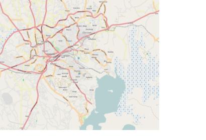
The American and Ugandan Red Cross have partnered up with the U.S. State Department’s Humanitarian Information Unit and HOT (Humanitarian OpenStreetMap Team) in a project to trace the cities of Gulu and Lira in Northern Uganda using high-resolution satellite imagery. They invite and encourage all HOT members, followers and fans to join in and help them trace these rapidly expanding cities which are rebuilding after years of conflict. The resulting maps will be used to conduct on-the-ground trainings for Ugandan Red Cross staff and volunteers, including trainings in how to use and contribute to Open Street Map. Those trainings will be put to use preventing traffic accidents and responding to the frequent house fires which plague the area.
Website for the project in Gulu: http://tasks.hotosm.org/job/48
Website for the project in Lira: http://tasks.hotosm.org/job/49

