English
Español
Français
United
Nations
Office for Outer Space Affairs
UN-SPIDER Knowledge Portal
Search
Home
About Us
What is UN-SPIDER?
About UNOOSA
Publications
Jobs
Meet the Team
Contact
Space Application
Satellite Technology
Emergency Mechanisms
Recovery Mechanisms
International Asteroid Warning Network
Space Mission Planning Advisory Group
International Space Weather Initiative
Space Technologies in the UN
User Stories
Links & Resources
Data Applications
Disaster Recovery
Data Sources
GIS and Remote Sensing Software
Online Learning Resources
Institutions
Risks & Disasters
Disaster Risk Management
Early Warning Systems
Emergency and Disaster Management
Natural Hazards
Sendai Framework
The UN and Disaster Risk Management
The UN and Early Warning
The UN and Disaster Management
Advisory Support
Advisory Missions
Emergency Support
Virtual Advisory Support
Recommended Practices
Training Activities
Practical Uses
Network
Regional Support Offices
GP-STAR
MHEWS
IWG-SEM
Projects
SPEAR
SEWS-D
EvIDENz
Flood GUIDE
CommonSpace Initiative
Tonga Pilot Project
News & Events
News
Events Calendar
UN-SPIDER Events Archive
Regional Charter Training in South Africa
Advancing Disaster Preparedness and Response
University of Bonn, IPA Space and UNOOSA Sign Partnership to Strengthen Global Space Capacity
UN-SPIDER Knowledge Portal Survey 2025
Help Shape the Future of the UN-SPIDER Knowledge Portal
UN-SPIDER's Disaster Response to the Nigeria Flooding (July 28, 2025)
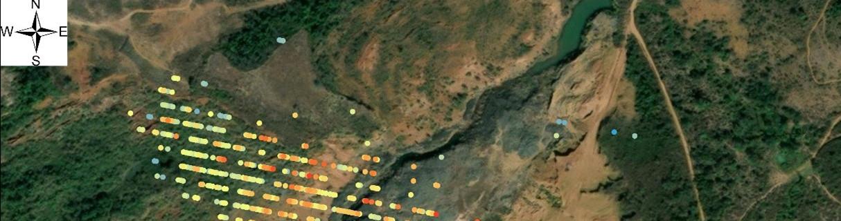
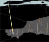
Satellite-based monitoring of Kiri and Dadin Kowa Dams following the Nigeria floods
New User Story: Dam Monitoring and Time-series InSAR Analysis
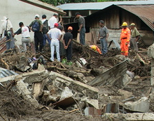
Learn more about Satellite Monitoring and the Xe Pian–Xe Namnoy Dam Collapse in Laos
Explore the Knowledge Portal
How can space technology be applied in disaster and risk management?
Where can I access satellite data, products and other resources?
Who are the users of space technology in disaster and risk management?
Which services can UN-SPIDER offer to Member States?
Stay Up to Date
News
10 Jan 2012
Ocean health, disaster impacts monitored from above by satellite remote sensing
10 Jan 2012
MGB-6 Emphasises Utilisation of Geohazard Maps
21 Dec 2011
National Workshop on the use of space-based information for disaster risk reduction and emergency response in the Dominican Republic; Santo Domingo, Dominican Republic
21 Dec 2011
2nd UN-SPIDER International Expert Meeting: Crowdsource Mapping for Preparedness and Emergency Response; Geneva, Switzerland; 16 Nov 2011
20 Dec 2011
Crisis mapping and disaster risk reduction
20 Dec 2011
Geospatial initiative shows the way
20 Dec 2011
Local and hi-tech responses needed when disaster strikes in Africa
20 Dec 2011
Emergency satellite communications platform bolsters global humanitarian intervention
14 Dec 2011
GPS data could speed up tsunami warnings
14 Dec 2011
Night-Time Images Help Track Disease From The Sky
Pagination
First page
« First
Previous page
‹‹
…
Page
245
Page
246
Page
247
Page
248
Current page
249
Page
250
Page
251
Page
252
Page
253
…
Next page
››
Last page
Last »
Upcoming Events
29 Sep
-
3 Oct 2025
Sydney,
Australia
76th International Astronautical Congress (IAC)
6
-
10 Oct 2025
Abuja,
Nigeria
United Nations/Nigeria Workshop on the International Space Weather Initiative
19
-
20 Nov 2025
Vienna,
Austria
UNOOSA Space Law Conference
Connect to the Community
Our Regional Support Offices