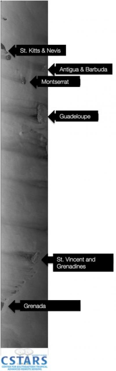
Following 16 years of Earth observations, the European Space Agency's (ESA) ERS-2 satellite was decommissioned and removed from its continuous orbit around the Earth on July 4, 2011. The final image, captured by the University of Miami's Center for Southeastern Tropical Advanced Remote Sensing (CSTARS), occurred over the Antilles Islands in the Caribbean.
"We've been tracking ERS-2 for nearly 10 years," said Hans Graber, executive director of CSTARS. "The satellite provided essential scientific data to monitor hurricanes and other environmental and weather-related phenomena."
The data collected from the satellite represents a major asset for the Earth observation community, according to the ESA in Frascati, Italy. The first image collect of the satellite by CSTARS occurred on September 24, 2002.
CSTARS collected more than 24,000 100-km2 scenes of the environmental condition on Earth. These images represent 240 million square-kilometers, which would cover the United States more than 24 times.
"Thanks to the collaboration with CSTARS during the last decade, ERS-2 has gained significant recognition as an operational satellite mission being able to adopt quickly to arising challenges," said Wolfgang Lengert, ERS missions manager at ESA. "The latest example was the recent earthquake in Japan where repetitive observations were made over the Sendai area every 3 days."
CSTARS provided critical support to the ESA following the March 11 Tohoku Earthquake in Japan. Using private communication lines the data were transmitted to CSTARS in near real-time and rapidly processed to generate basic image data for researchers to analyze the geophysical conditions, such as vertical ground displacement, near the earthquake epicenter in Sendai, Japan.
The ERS-2 launched in 1995, to observe land, ocean, atmosphere and polar regions using a variety of remote-sensing instruments affixed to the satellite.
CSTARS also supported the ESA over the last five years as a low-bit data downlink station, in which data were downlinked and immediately processed for distribution to national weather centers around the world.
"In addition to the operational support for ERS-2, CSTARS also contributed to many state of the art science and applications achievements of the ERS missions," said Lengert. "Future satellite missions will benefit from this kind of research collaboration."