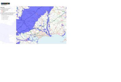
A new interactive mapping service called "Resilience Direct" is being rolled out to the UK resilience community in late July. The tool allows disasters responders to quickly and easily build incident maps supporting a shared information picture.
The UK Ordnance Survey stated in a press release: "Resilience Direct was initially launched in April 2014, providing a secure platform for multi-agency partnerships to share information in both emergency response and in planning. The service acts as a common operating platform for use by local multi-agency planning and response partnerships, with users including police, fire and ambulance services, local authorities and utilities partners. The service enables real-time sharing of accurate data and information, allowing all agencies to maintain shared situational awareness and supporting effective decision-making at the tactical and strategic levels."
The enhanced service can now "digest a variety of data formats, enabling users to add their own layers to maps, reflecting accurate local detail. For example, cordons can be added and highlighted, utilities and pipelines can be shown and points of interest can be overlaid to the mapping. The service is designed to enable strategic and tactical commanders to visualise their area of interest in a flexible, dynamic way."

