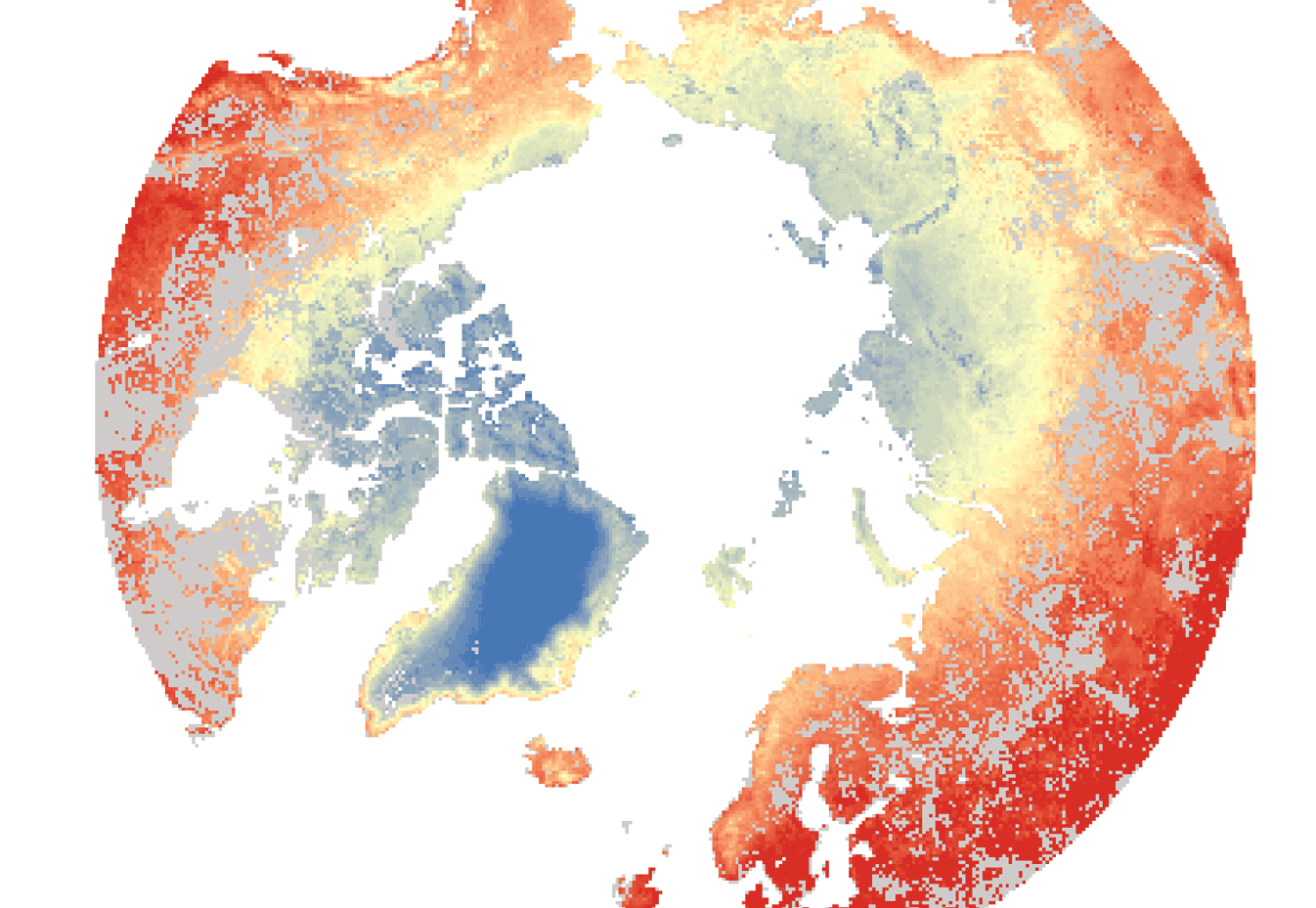
Satellites like ESA's Envisat can see indications for thawing permafrost in land surfaces at northern latitudes. Thawing permafrost releases underground organic carbon into parts of the Arctic, thus accelerating the effects of climate change. Even though permafrost cannot be directly measured from space, satellite can pick up surface temperature, land cover and snow parameters, soil moisture and terrain changes that indicate changes to the permafrost.
Last month, more than 60 permafrost scientists and Earth observation specialists came together for the Third Permafrost User Workshop at the Alfred Wegener Institute in Potsdam, Germany, to discuss their latest findings. “Combining field measurements with remote sensing and climate models can advance our understanding of the complex processes in the permafrost region and improve projections of the future climate,” said Dr Hans-Wolfgang Hubberten, head of the Alfred Wegner Institute Research Unit (Germany) and President of the International Permafrost Association.